Road data
you can act on
Visual intelligence for road assets & surface conditions. Secure & GDPR compliant.













Fix what matters. Prove every job.
One pass, every asset
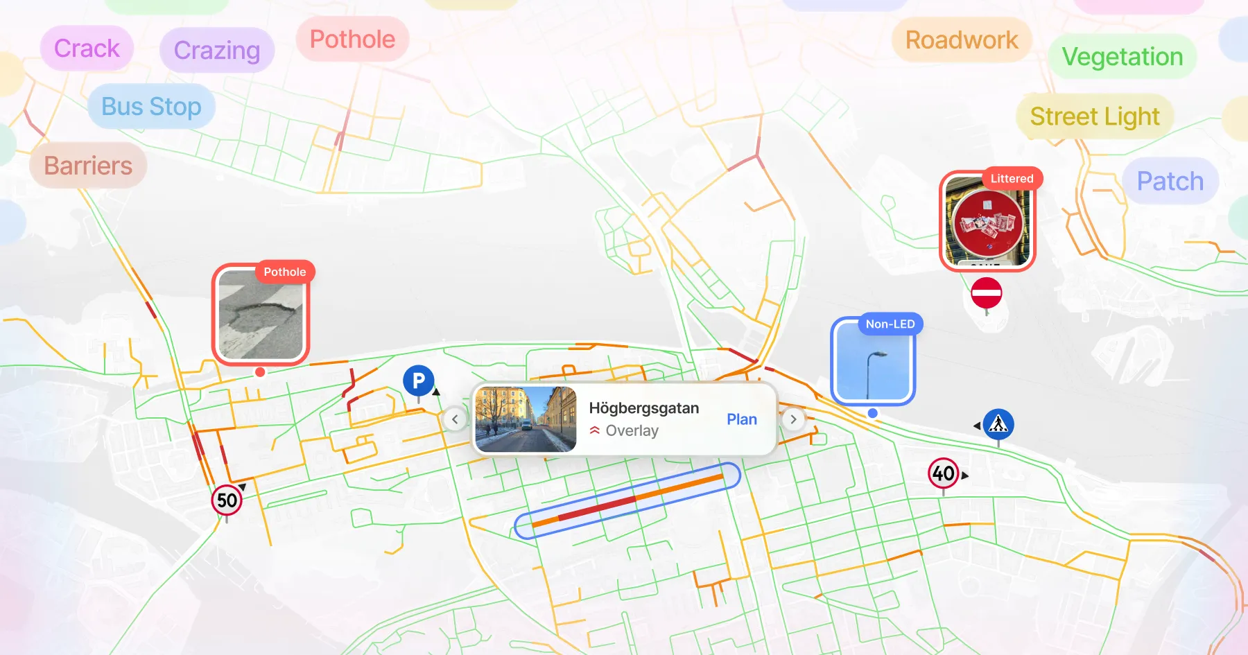
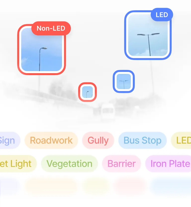
Signs, lighting, drainage, road surface and more, captured in a single journey.
PAS 2161
Road condition data delivered in PAS 2161 format.
Know what you own
Build a complete asset inventory where records may be missing or outdated.
Budgets you can defend
Support maintenance decisions with evidence a council can stand behind.
Fair upkeep, everywhere
Spot areas quietly falling behind on maintenance.
Document liability
Deliver consistent, transparent outputs that stakeholders can trust across roads and time.
Know the network. Plan with confidence.
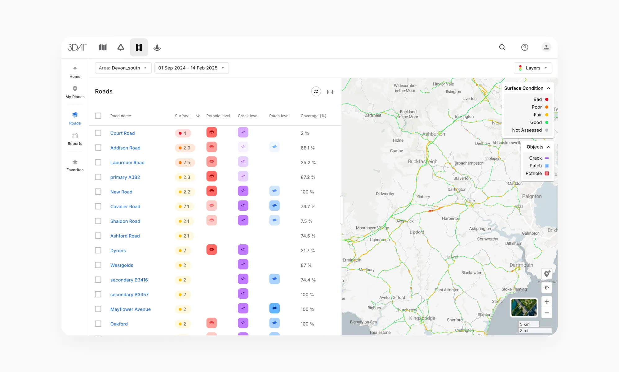
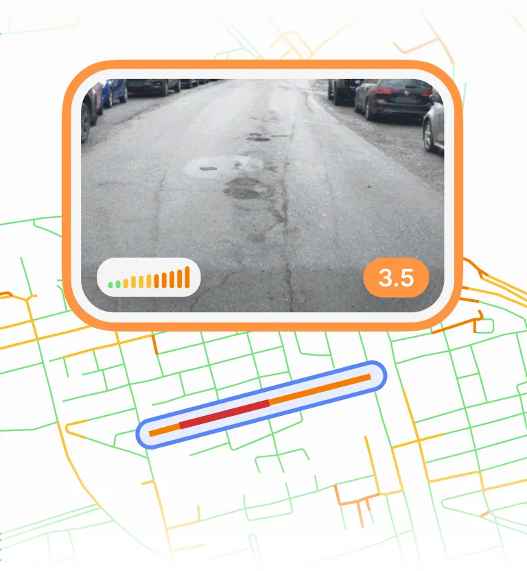
Accurate distress monitoring
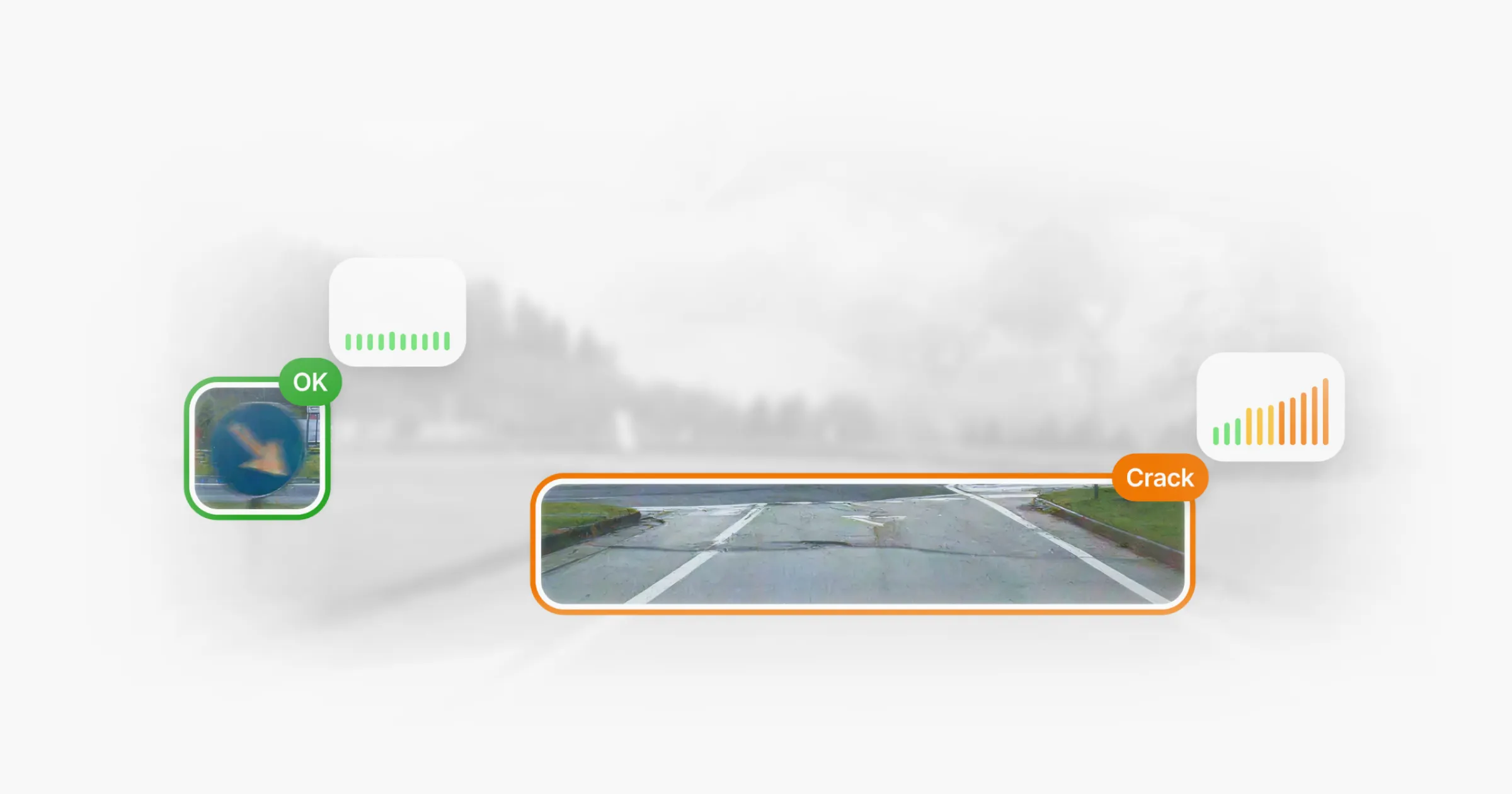
Detect and track carriageway defects such as cracks, crazing, potholes and more.
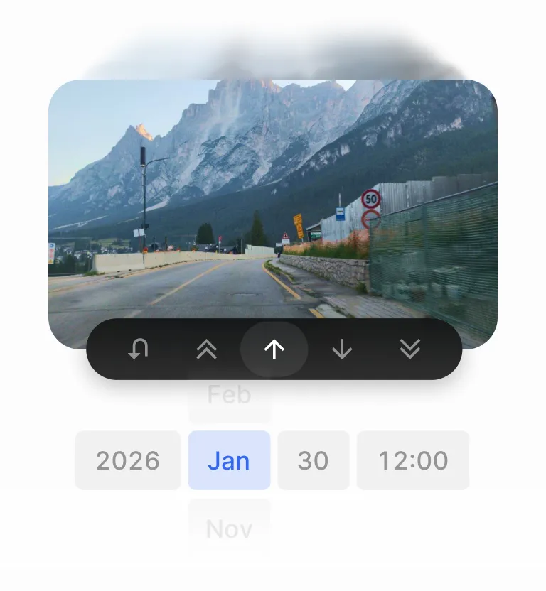
Verify operations
Compare locations over time and catch problems before they become costly.
Automated asset inventory
Built and kept up to date for you.
Your data, anywhere, any time
Access road infrastructure data where and when you need it.
GDPR compliant
Anonymised with no personal data stored.
Prove every job with 3DAI
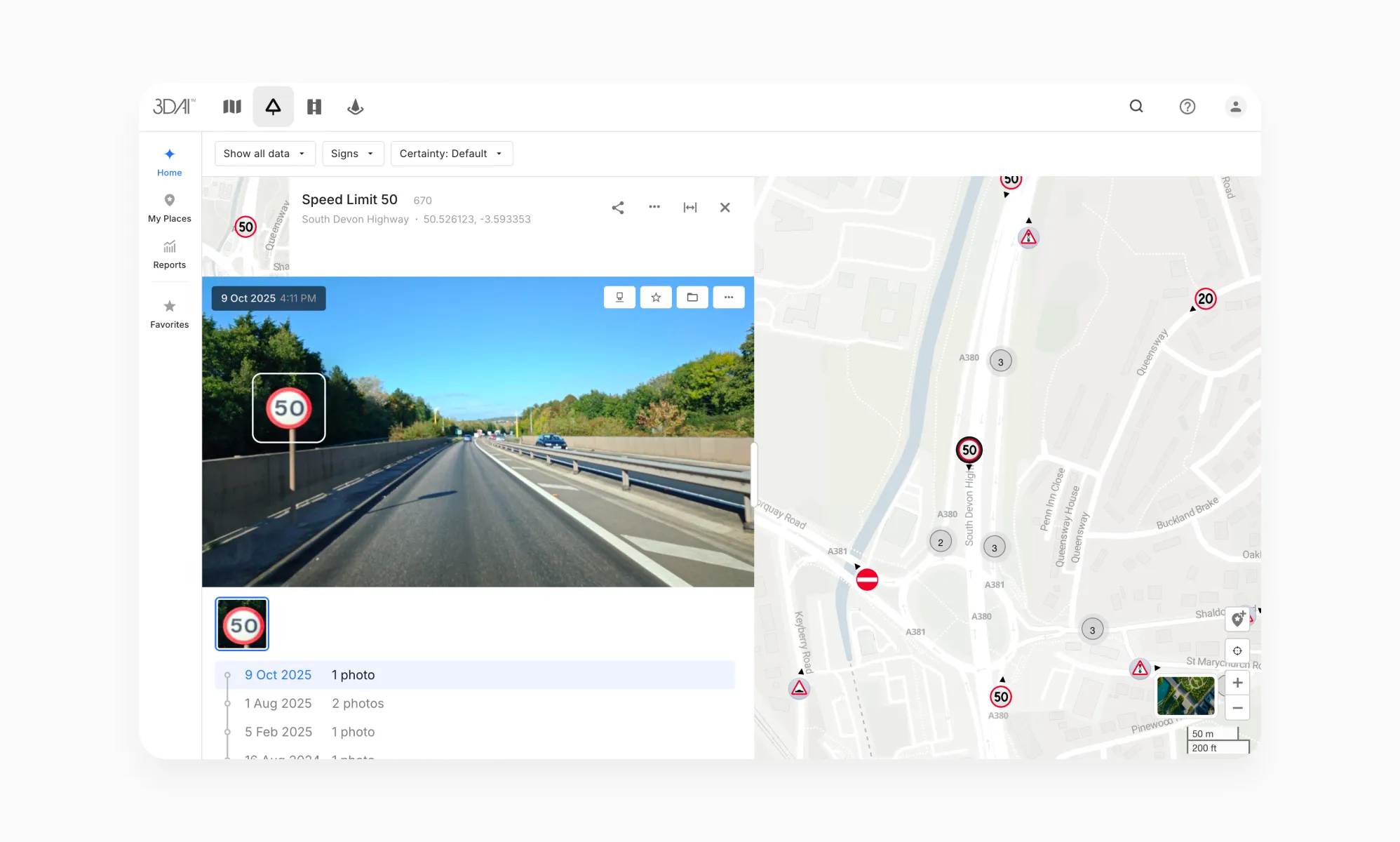
Verify operations
Confirm what’s been done and know what needs your attention.
PAS 2161
Road condition data delivered in PAS 2161 format.
Track your KPIs
See how performance stands against each commitment.
Generate evidence reports
Use timestamped, geo-referenced evidence to turn daily work into audit-ready proof.
Strengthen tenders
Deliver consistent, transparent outputs that stakeholders can trust across roads and time.
GDPR compliant
Anonymised with no personal data stored.

The evidence layer to support your next transparency report
England’s local highway authorities must publish an annual transparency report on how they maintain and invest in their roads. The Department for Transport uses this information to assess maintenance performance and determine eligibility for highways maintenance incentive funding. Its strengthened requirements support a shift towards preventative maintenance and long-term asset management, making a clear account of road conditions, maintenance priorities and delivered work increasingly important.
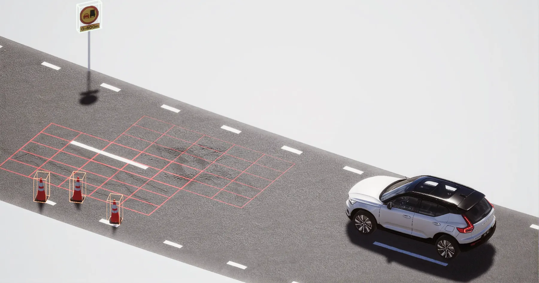
3DAI™ helps build the road condition evidence behind that work. Using cameras on vehicles already travelling the network, it turns road imagery into structured, geo-referenced data on surface defects and roadside assets. As vehicles return to the same locations, new observations build a visual record of how conditions change, giving your team a clearer basis for inspection, planning and follow-up.
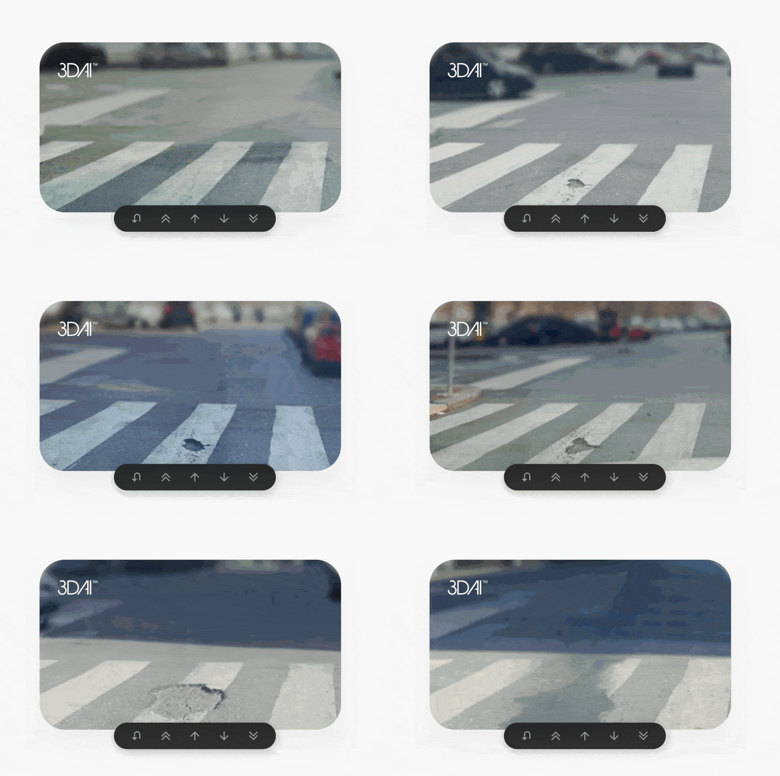
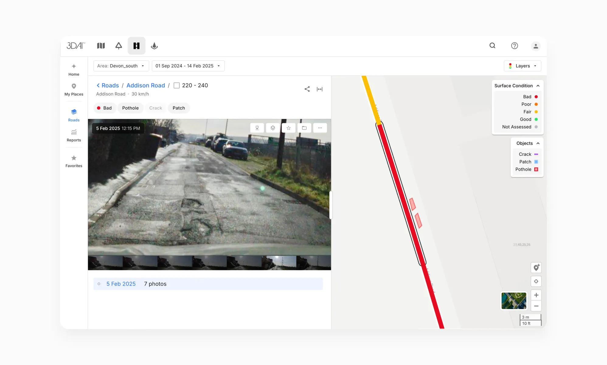
Seeing how potholes, cracks and surface wear develop over time helps teams understand where attention is needed. With 3DAI™, they can review observations across the network to identify deterioration, assess priorities and plan interventions before damage becomes more extensive.
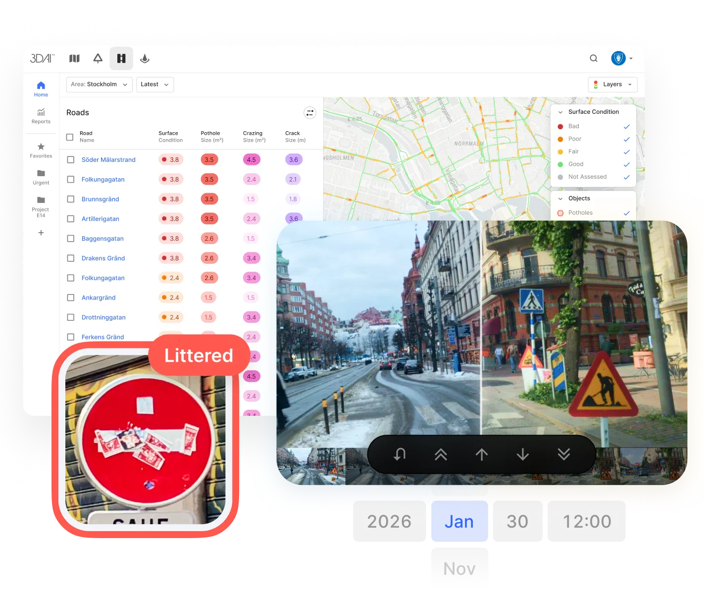
The same record helps teams follow up on completed work. Images organised by time and location make it possible to compare conditions before and after an intervention, review visible changes and assemble evidence for handovers and maintenance reviews. Authorities and their contractors can work from a shared visual record when discussing what has been done and what still needs attention.
Available through a web interface and API, imagery and findings can feed into existing inspection, asset management and reporting workflows. Teams can use this evidence alongside engineering assessments and maintenance records to plan their work and explain the decisions behind it.
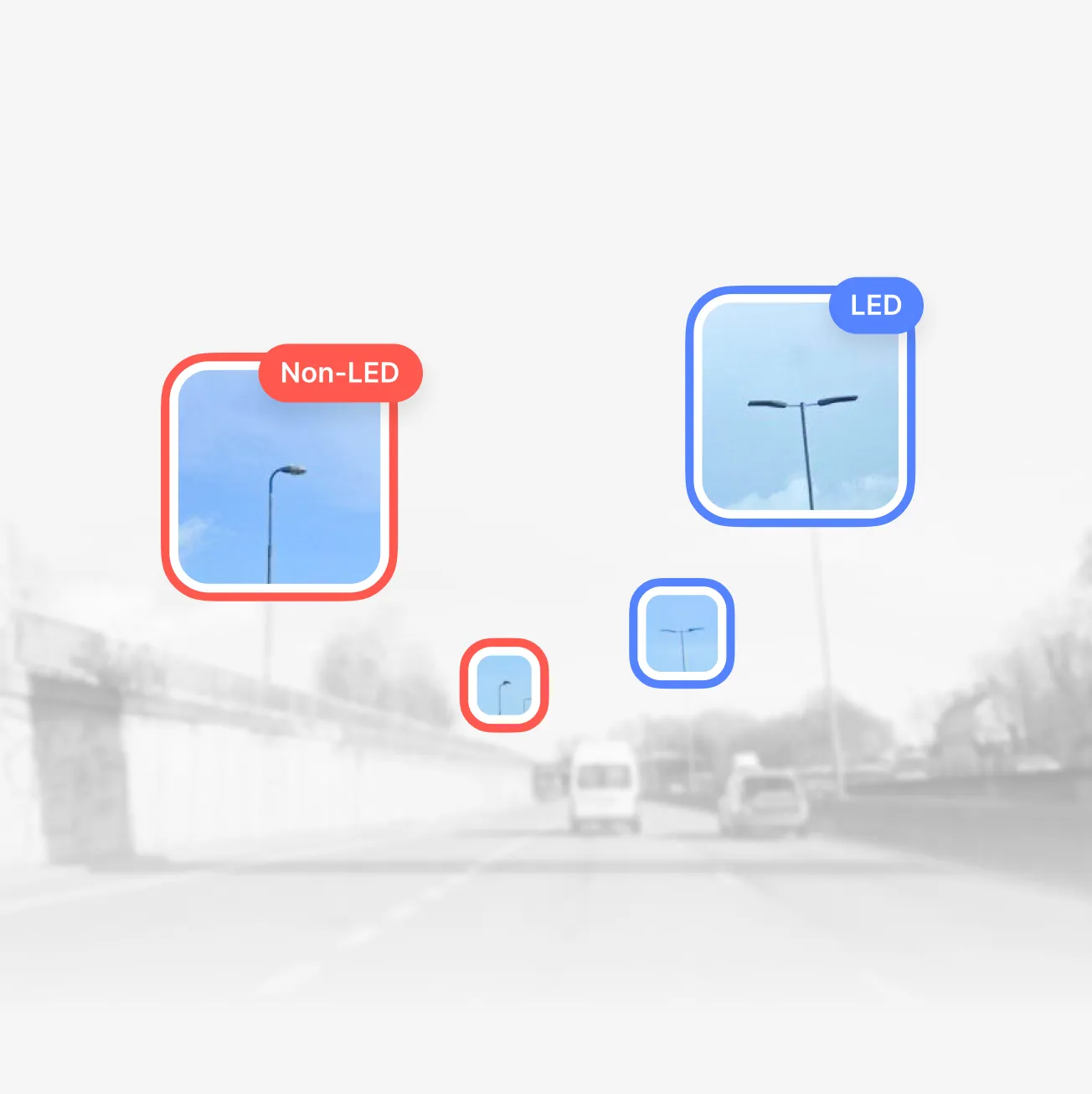

England had 110k streetlights classified in 90 days →
8,800
km of roads covered
95%
Accuracy in classification
0
Road closures needed


Helsingborg reduced their potholes by 70% in 5 months →
€17–25M
Estimated savings from early-stage road damage intervention
Up to 50%
Of inspection staff reallocated to other strategic tasks
1 hour
Weekly road status checks — down from 2.5 working days

Deployed in 15+ countries together with national road authorities & organisations.









Put road
data to work
Start a 3DAI pilot on your road network.
Use as evidence in your next report.
Latest