The weakest link: Why road condition data sits at the centre of Europe's defence readiness
Roads as strategic infrastructure
Roads are the physical foundation that societies depend on — for commerce, for connection, and for keeping essential systems running. When conflict or disaster strikes, that foundation is tested in ways that go beyond the everyday.
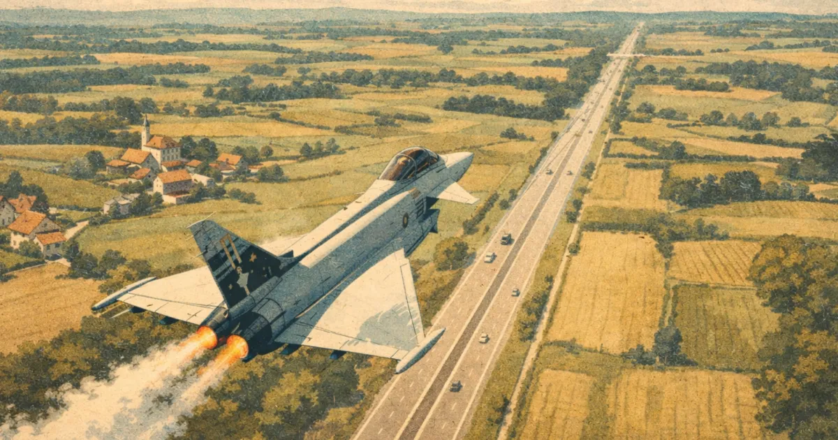
Roads that move freight on a Tuesday move troops on a Wednesday. The supply chains that stock supermarkets supply forward positions. Roads also become runways — Sweden's JAS 39 Gripen fighter jet is designed to land on public roads, not as a contingency, but as doctrine. Under the Swedish Air Force's Bas 90 system, developed during the Cold War and actively practiced today, sections of civilian highway have been deliberately engineered as military airstrips, wide enough, strong enough, and dispersed enough to keep aircraft operational if airbases are destroyed or compromised.
With European security no longer something that can be taken for granted, that reality is now shaping policy at every level. Nordic transport authorities, the EU, and NATO are all arriving at the same conclusion: the condition and resilience of road infrastructure is a matter of collective security, not just public works. That raises a question many authorities are still working to answer: Do they know, in sufficient detail and with sufficient frequency, what condition their networks are actually in?
AI-powered road monitoring is beginning to make that question answerable at network scale — and for Univrses, that capability is already operational across Europe.
Ageing roads, rising demands
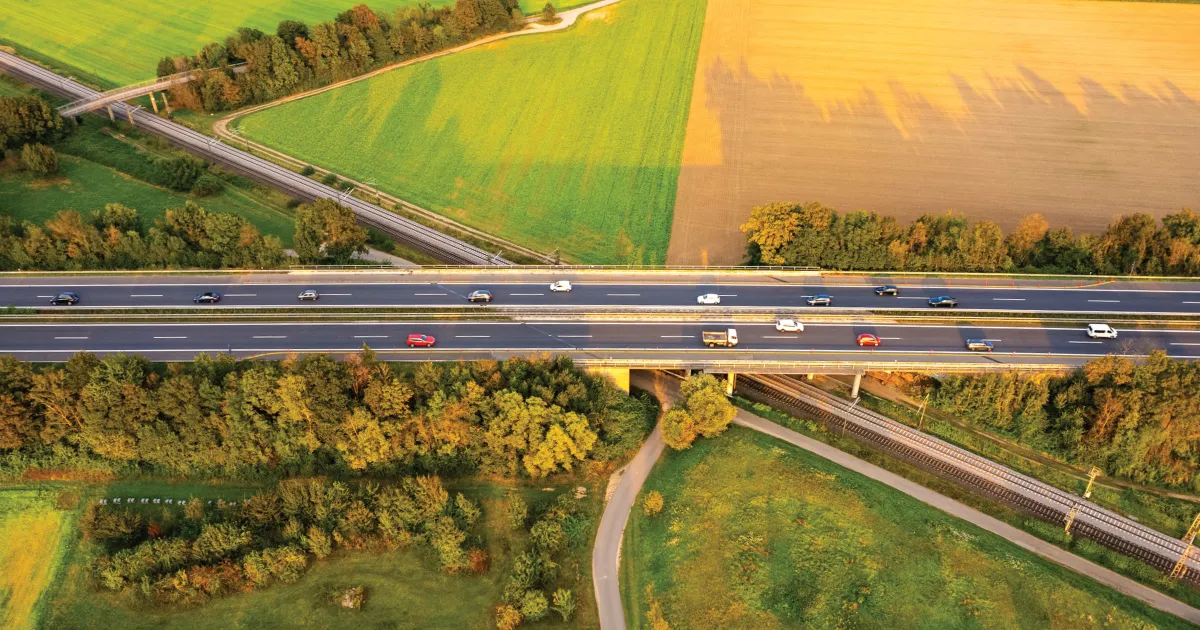
Europe's roads face an investment shortfall estimated at $881 billion, the largest investment gap of any single infrastructure sector on the continent. The Nordic region is no exception. Finland's Transport Infrastructure Agency reports a road maintenance backlog of €2.6 billion, growing year on year. The Norwegian Automobile Federation (NAF) puts the county road backlog alone at approximately €9 billion as of 2024. Sweden's Transport Administration estimates that eliminating the road maintenance backlog requires an average annual investment of approximately €1.8 billion through 2037 — a commitment the government has now made.
The roads those figures describe are the same roads military planners depend on. Most EU roads are built to carry loads of up to 40 tonnes, but modern battle tanks weigh between 55 and 70 tonnes. That gap — between what roads are designed to carry and what military operations require — already exists at baseline, and poorly maintained roads widen it further.
NATO's Very High Readiness Joint Task Force, a 5,000-strong spearhead unit, is required to be deployable within 5 to 7 days — a timeline that structural road deficiencies are already identified as putting at risk. NATO Secretary General Mark Rutte put it plainly in June 2025: "Roads, rail and ports are just as important as tanks, fighters and warships. We need civilian transport networks that can support military mobility."

The Nordic and European response
In February 2026, the transport authorities of Denmark, Finland, Iceland, Norway and Sweden published the Joint Nordic Strategy for Transport System Preparedness. This framework was developed at the request of Nordic transport ministers and addressed to both the political level and the relevant transport authorities across the region.
The strategy identifies four prioritised corridors spanning road, rail and sea routes across the Nordic countries, designed for dual civilian and military use. It states directly that excessive maintenance backlogs compromise operational capability, and calls for better information sharing to build a shared picture of network conditions across the region.
The Nordic strategy reflects a shift taking place across Europe. The EU's White Paper for European Defence — Readiness 2030, published in March 2025, identifies military mobility as a critical enabler of European security. The EU is working toward a Military Mobility Area by 2027 — in effect, a Military Schengen — that would allow troops and equipment to move across borders with the same speed and freedom as civilian freight. The EU Defence Commissioner, Andrius Kubilius, has stated that achieving this will require an initial investment of €70 billion in infrastructure adaptation alone.
Translating that ambition into operational reality starts with knowing what condition the infrastructure is actually in.
The data gap
Road condition across Europe is still assessed primarily through periodic surveys — in many countries, conducted once a year or less. Manual inspections remain widespread, dependent on engineers physically travelling routes in active traffic, working from schedules set months in advance. Dedicated scanner vehicles offer greater precision but are expensive to deploy and impractical at network scale. The result is a system built around snapshots. Detailed, professionally conducted, but snapshots nonetheless.
The gap between those surveys is where the problem lives. Roads don't deteriorate on schedule. A surface that passed inspection in spring may have degraded significantly by autumn. A junction eroded by heavy freight, a stretch of road on a prioritised military route that has quietly dropped below the load-bearing threshold for military use — none of this is visible until someone looks. And in much of Europe, the next scheduled look is months away.
In a crisis, the absence of up-to-date information is not an administrative inconvenience. It's an operational vulnerability. Network resilience cannot be assured or reported on if infrastructure condition is only known periodically. The joint situational picture that Nordic and European policy is calling for requires something that traditional assessment methods were not designed to provide.
3DAI™: Real-time road intelligence
This is the problem that Univrses' 3DAI™ was built to solve — not in a defence context, but in the everyday reality of road authorities managing ageing networks with constrained budgets. The strategic framing is new. The capability is not.
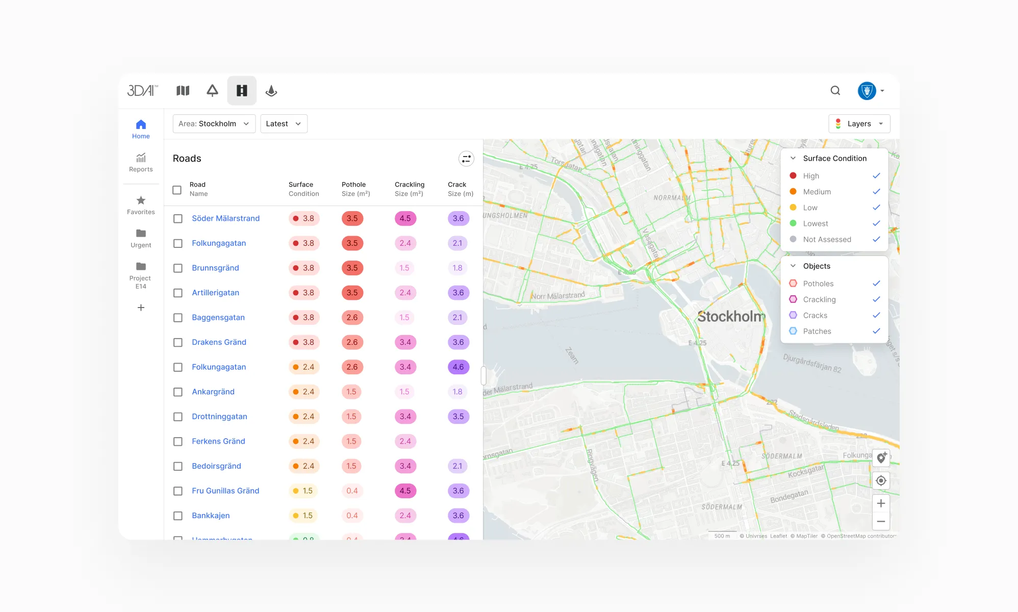
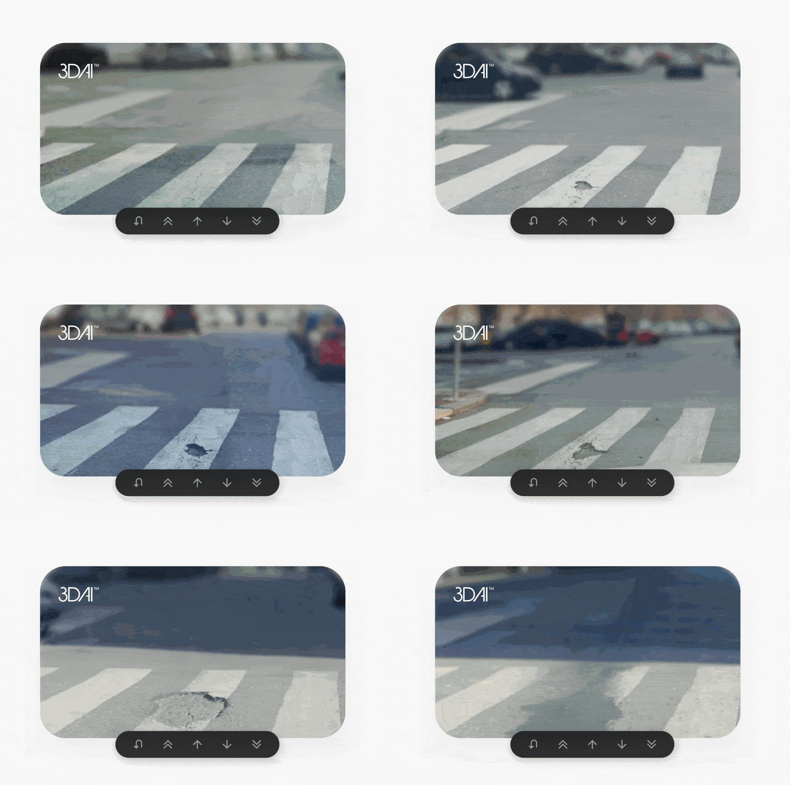
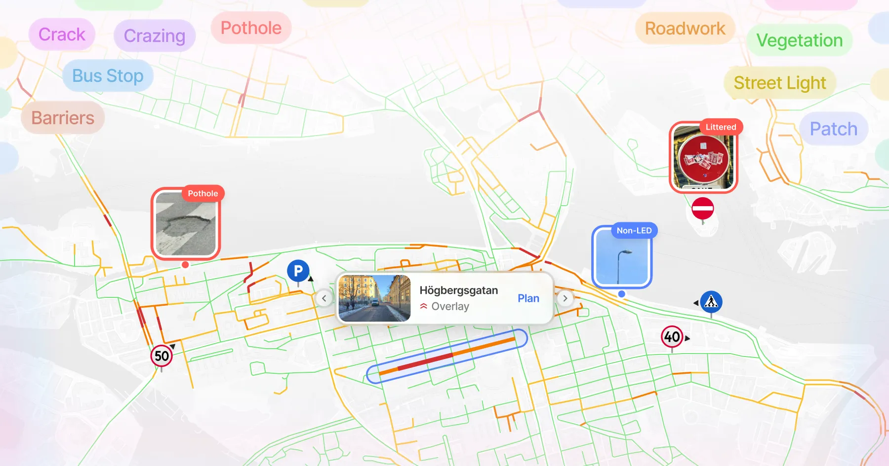
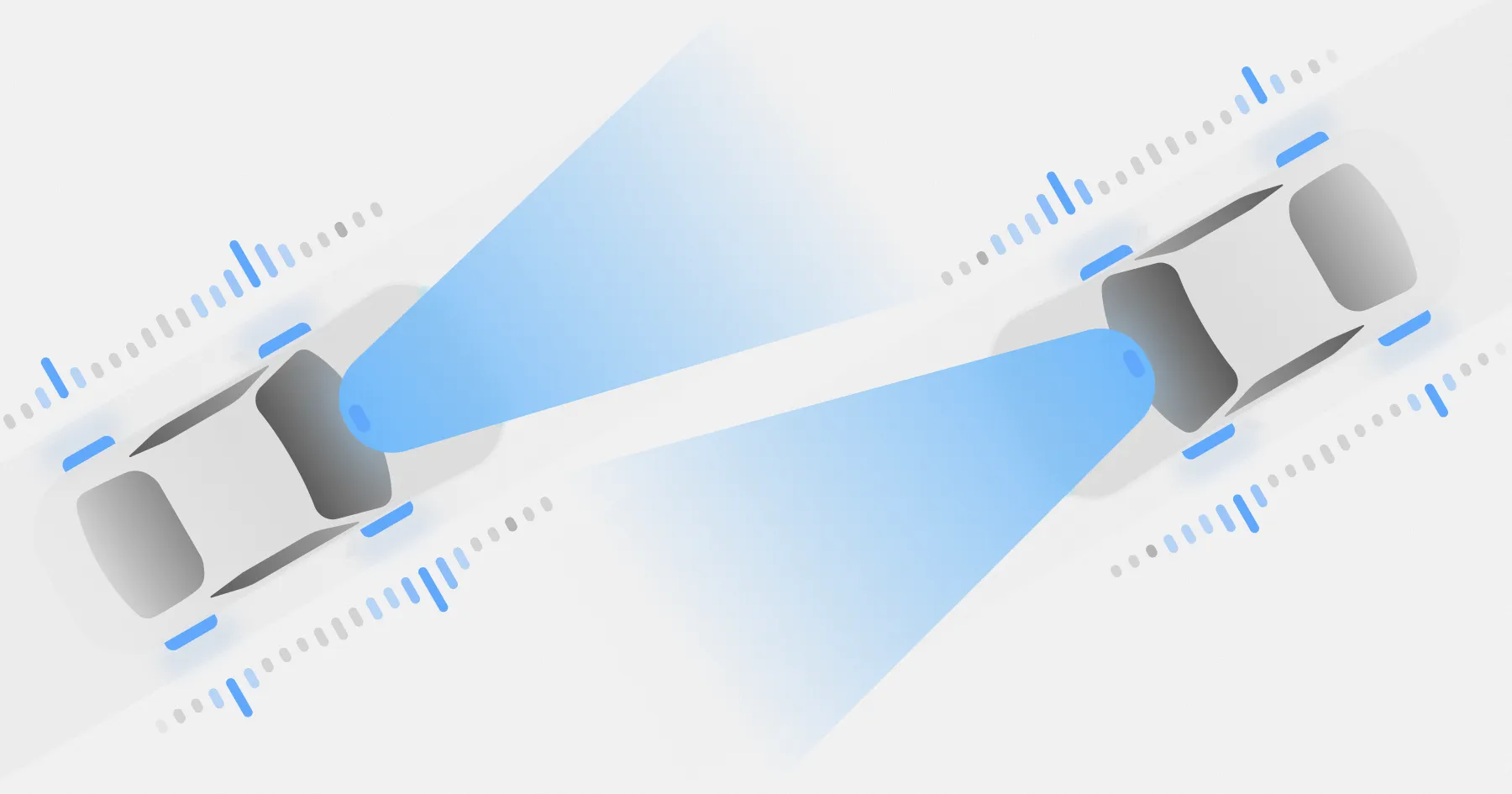
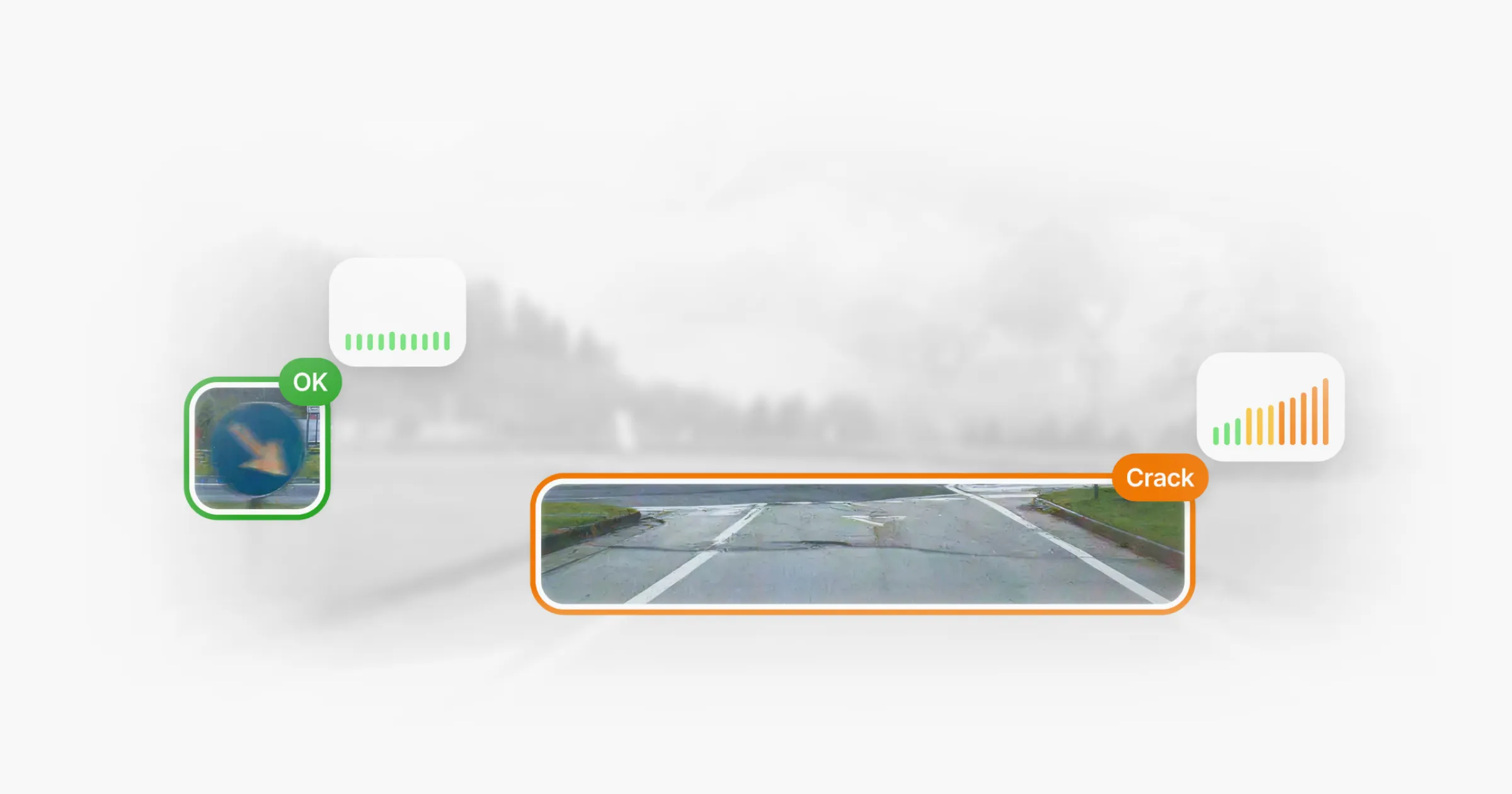
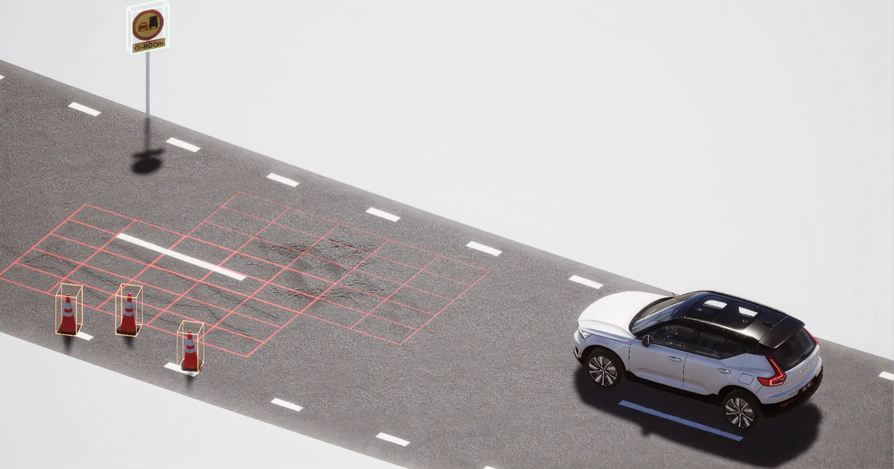
3DAI™ is an AI-powered road monitoring system that turns ordinary vehicles into mobile data collectors. Cameras mounted on standard vehicles already covering the network as part of their normal operations — such as municipal fleets, buses and service vehicles — continuously scan road surfaces as they travel. The system detects and classifies potholes, cracks and surface wear in real time, alongside roadside assets such as signage and lighting. Each finding is geo-referenced and mapped within the road network. As coverage accumulates over repeated passes, the system tracks how conditions change over time — identifying where deterioration is progressing and where intervention is needed.
The result is something periodic surveys cannot produce: a continuously updated, network-wide picture of infrastructure conditions. Not a snapshot taken once a year, but an intelligence layer that reflects the road as it actually is.
Proven in the field
3DAI™ is already deployed by national road authorities across Sweden, Denmark, Norway, the Netherlands, the UK and Italy. In one year, the system covered 950,000 kilometres of roads in Europe and processed 94 million images into structured, actionable data — without deploying a single dedicated survey vehicle.
The Swedish Transport Administration (Trafikverket) now receives condition updates on high-traffic routes weekly, in some cases daily. In Helsingborg, potholes fell from 3,000 to 900 in five months, manual inspection time dropped from 2.5 days per week to one hour, with estimated savings of €17 million. And in England, 3DAI™ detected and classified more than 110,000 roadside assets across 8,800 kilometres of roads in under three months — without a single road closure.
These are asset management outcomes. But the underlying capability is precisely what the Nordic strategy identified as missing: network-wide visibility into the condition of the infrastructure.
How 3DAI™ works
1. Camera-based scanning
Vehicles equipped with 3DAI™'s camera-based vision system continuously scan road surfaces as they travel.
2. AI-powered detection
Computer vision models analyse the data to detect and classify surface-related features and defects, such as cracks, potholes and surface wear.
3. On-device edge processing
Key data is processed directly on the device, reducing file sizes, lowering transfer costs, and accelerating initial analysis.
4. Cloud refinement
Detections are uploaded to the cloud, where they're further structured and validated — ready to support accurate mapping and insight generation.
5. Geo-referenced mapping
Each detection is mapped with precise GPS coordinates, allowing conditions to be mapped accurately across the road network.
6. Trend analysis
As coverage accumulates, 3DAI™ highlights change patterns — helping teams see where deterioration is progressing and where follow-up may be needed.
The next step
Europe's security environment has changed, and transport infrastructure is at the centre of that shift. The Nordic strategy sets out a clear vision: a transport system that remains operational under all security situations, including wartime. To get there, it calls for maintenance backlogs to be prevented, vulnerabilities in the network to be identified, and a shared picture of network conditions established across the region. The EU and NATO have made the same demand.
What these frameworks have in common is a foundational question: how do you build a joint situational picture of infrastructure spanning hundreds of thousands of kilometres, whose condition changes continuously, using assessment methods that can only ever capture a moment in time?
The practical answer already exists. Continuous, AI-powered road monitoring can provide exactly the kind of visibility the strategy describes — not as a future ambition, but as a capability already in the field. It requires no dedicated survey vehicles, no new infrastructure, and no waiting for the next scheduled inspection cycle.
The tools are in the field. The policy window is open. The next step is connecting that capability to the security frameworks that need it most — treating road condition data not just as an asset management input, but as a strategic one.

About Univrses
Univrses is a computer vision and AI company working at the intersection of automotive and infrastructure. The company has developed perception software for leading car manufacturers, with components now deployed in production vehicles such as the Polestar 3 and Volvo EX90.
Building on this expertise, Univrses has brought the same perception capability to infrastructure asset management. Its proprietary 3DAI™ technology transforms video data from ordinary vehicles into actionable insights on roads and other infrastructure. Today, 3DAI™ is used by national road authorities and municipalities in multiple European countries to improve safety, cut costs, and support sustainability goals.
Close the data gap
See how 3DAI™ is running on European roads today
Continue reading





Deployed in 15+ countries together with national road authorities & organisations.