Mesta and Statens Vegvesen used 3DAI™ to detect signs and surface damage across 17,459 km of Norwegian roads
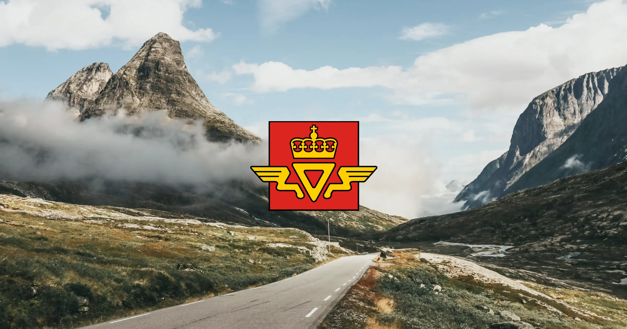
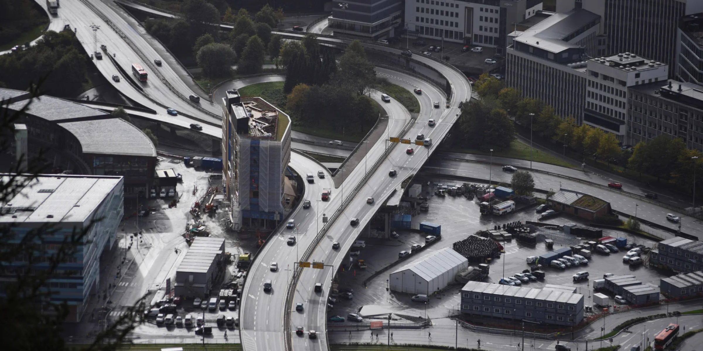
In the Bergen region, road maintenance contractor Mesta and Statens Vegvesen, the Norwegian Public Roads Administration, used 3DAI™ by Univrses to collect detailed road data for traffic sign maintenance and road damage monitoring.
Across 17,459 km of unique roads, 3DAI™ detected traffic signs and road damage, including more than 170 signs that did not match records in Norway’s National Road Database, NVDB. The project explored how AI road inspection could reduce reliance on manual inspections, make road data available across departments and support existing maintenance workflows.
The Challange
Managing Norway’s approximately 97,000 km of roads means working across a large and sparsely populated country. In Bergen, the weather adds further complexity: precipitation on more than 220 days a year and significant temperature changes throughout the seasons put sustained pressure on the roads. For Mesta, one priority was gaining a more detailed picture of the traffic signs it maintained. Statens Vegvesen was looking to strengthen its monitoring of road damage. Both depended on accurate, timely information about what was happening on the road, what required attention and where.
“Norway's vast road network presents complex management challenges. We needed a more detailed approach beyond traditional methods, which led us to Univrses and their 3DAI™ technology.”
- Road Engineer, Statens Vegvesen
Turning road imagery into structured data
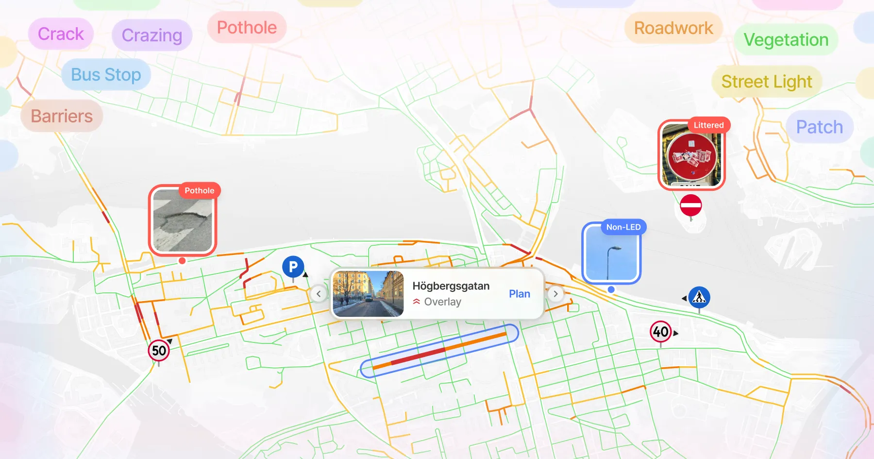
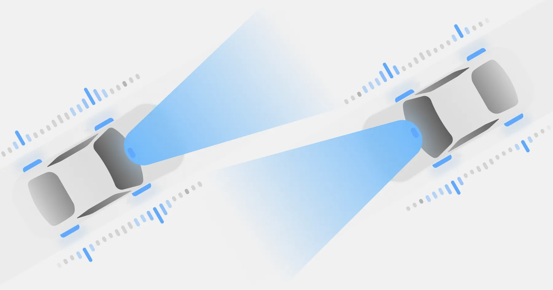
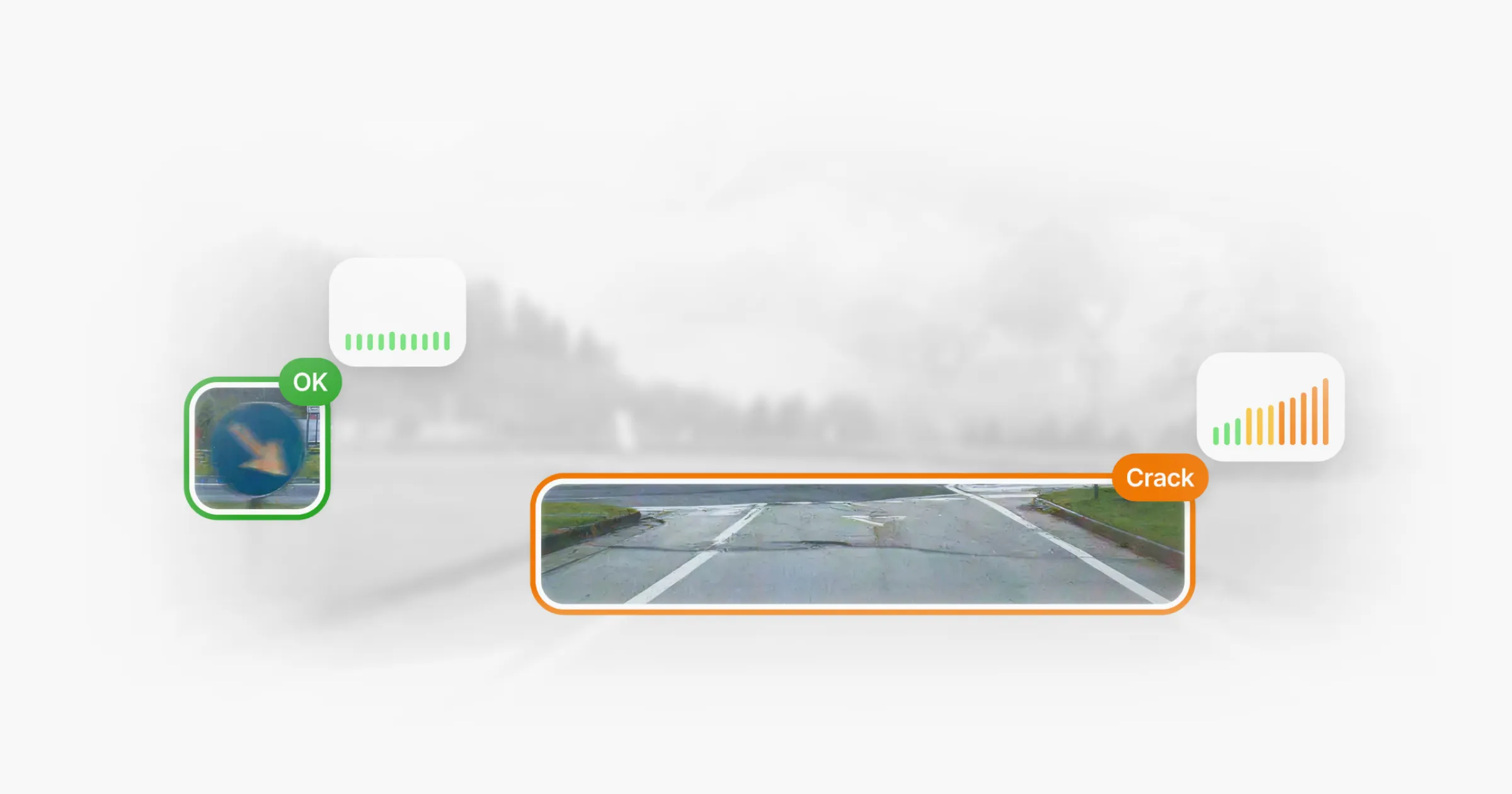
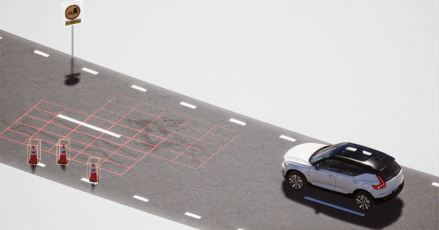
3DAI™ by Univrses uses cameras on vehicles travelling the network to collect visual information and turn it into structured, geo-referenced data and imagery about road conditions and road assets. For the Bergen deployment, Univrses adapted 3DAI™ to detect and visualise the specific traffic signs and types of road damage relevant to the project under varying environmental conditions. The data could also be compared with information in NVDB, revealing discrepancies between what was present on the road and what was recorded in the database.

From data collection to everyday use
Vehicles equipped with 3DAI™ travelled different routes over an extended period to collect data across the Bergen region. The deployment was designed to provide consistent updates on road conditions, simplify data collection and asset management, and reduce reliance on manual road inspections. Another objective was to make the information accessible across departments, giving different teams a shared source of road data.
As data was collected, Univrses’ team adapted the 3DAI™ system to the traffic signs and road damage covered by the project. Road inspectors then used the resulting infrastructure data for detailed assessments, including monitoring road damage and identifying signs that required maintenance. Access to the data was incorporated into their operational procedures, giving inspectors accurate and timely information for managing maintenance tasks and addressing infrastructure issues.
Univrses also evaluated the deployment against measures including errors in feature detection, feature positioning and character recognition. The project report brought together these measures, estimated cost and time savings, and data delivered in a machine-readable format.
Project results
Over the course of the project, vehicles equipped with Univrses’ 3DAI™ covered 17,459 km of unique roads. The system:
- detected 5,356 unique traffic signs
- identified more than 170 traffic signs, approximately 3.3%, that did not match NVDB records
- identified 88 signs that needed maintenance
- detected 579 potholes and 13,979 cracks.
The findings fed into two different parts of the maintenance work. Road inspectors used the road damage data in their assessments and operational procedures. Traffic sign detections could also be compared with NVDB, giving Statens Vegvesen a direct way to identify where physical signs and their database records did not match.
When 3DAI™ flagged a discrepancy, the team could determine whether the physical sign or its database record needed attention. The discrepancies found during the project led to immediate updates in NVDB, where the same process could previously have taken months or even years. Beyond individual corrections, the work showed how road data collected through 3DAI™ could help keep the asset inventory more closely aligned with what was actually present on the network.
“This is about more than enhancing road maintenance; it's about elevating the entire transportation experience. The use of 3DAI™ has refined our approach, making our management processes more proactive and efficient.”
- Road Engineer, Statens Vegvesen
The potential at scale
The Bergen results also provided a basis for considering what broader use of 3DAI™ could mean when combined with experience from earlier deployments.
Similar deployments had recorded savings of EUR 150 per kilometre per year. Applied across Norway’s approximately 97,000 km road network, that experience suggested potential annual savings of more than EUR 10 million in road damage management. This was a projection of what wider deployment could offer, rather than a saving measured in the Bergen project itself.
Staff time presented another opportunity. In an earlier deployment, 3DAI™ reduced the staff time required for road inspections by 50%, allowing people previously occupied with manual road monitoring to focus on other tasks. Together, these earlier results provided a reference point for the operational and financial potential Mesta and Statens Vegvesen could explore beyond the initial deployment.
Next steps
The project identified several opportunities to build on the work, including expanding data collection and integrating 3DAI™ data into Mesta’s and Statens Vegvesen’s existing systems.
At the time, Univrses engineers were also looking to expand 3DAI™ to cover white lines, streetlights and roadworks, based on feedback from the project. These were areas for further development rather than capabilities delivered as part of the Bergen deployment.
Reflecting on the collaboration, Jonathan Selbie, CEO of Univrses, said:
Jonathan Selbie, CEO of Univrses, reflects on the partnership and its broader implications:
“Our collaboration with Statens Vegvesen and Mesta is a textbook example of blending technological expertise with practical field knowledge for the benefit of society. These joint efforts have not only contributed to enhanced road maintenance operations, but have also set a benchmark for a new era in infrastructure management, in Norway and beyond.”
Explore 3DAI™ for your road network
Want to see how 3DAI™ by Univrses can support road condition monitoring and road asset management? Book a demo to explore how structured, geo-referenced road data could fit into your workflows.
Continue reading





Deployed in 15+ countries together with national road authorities & organisations.