Road data
you can act on
Visual intelligence for road assets & surface conditions. Secure & GDPR compliant.














Know the network. Plan with confidence.


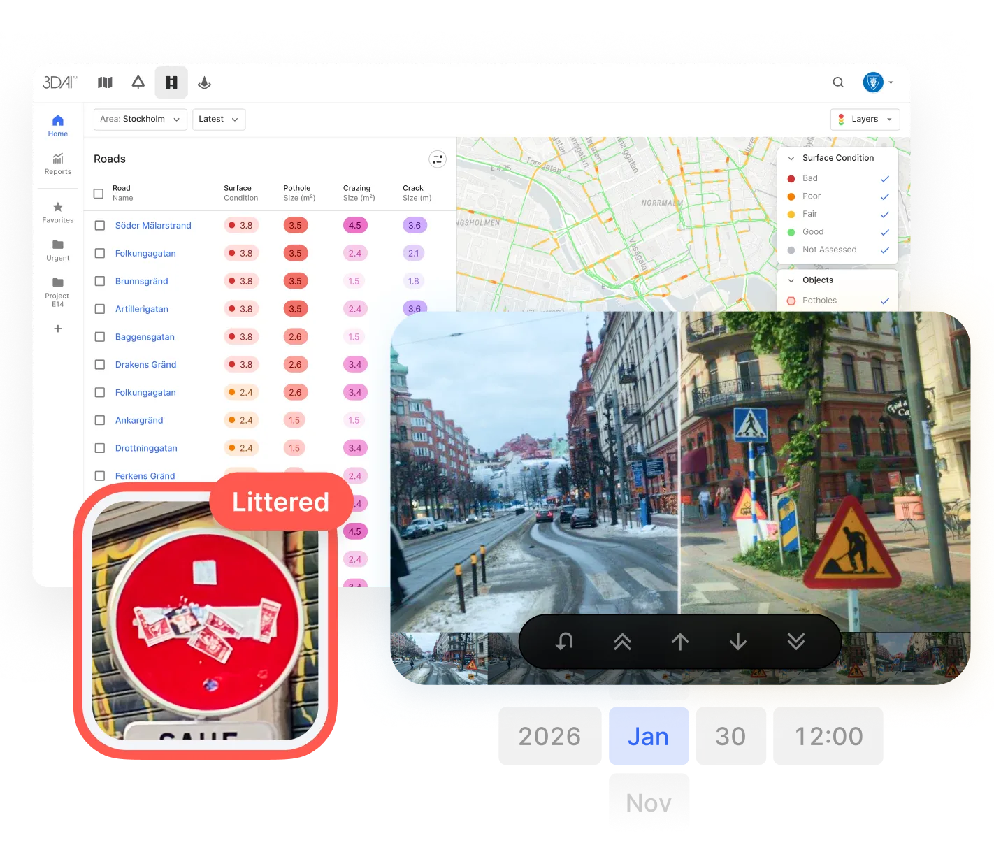
Accurate distress monitoring
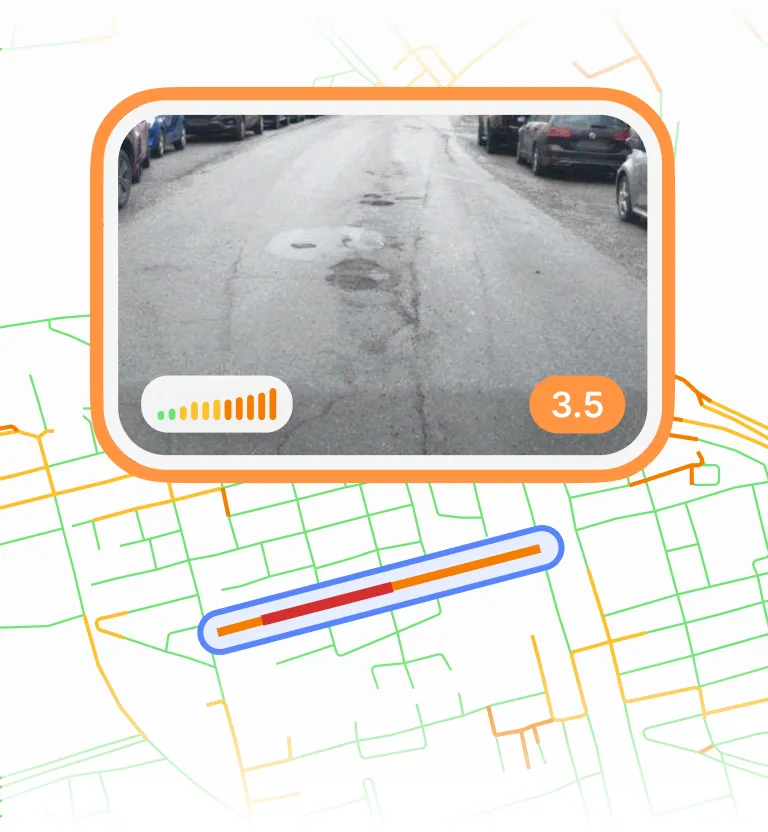
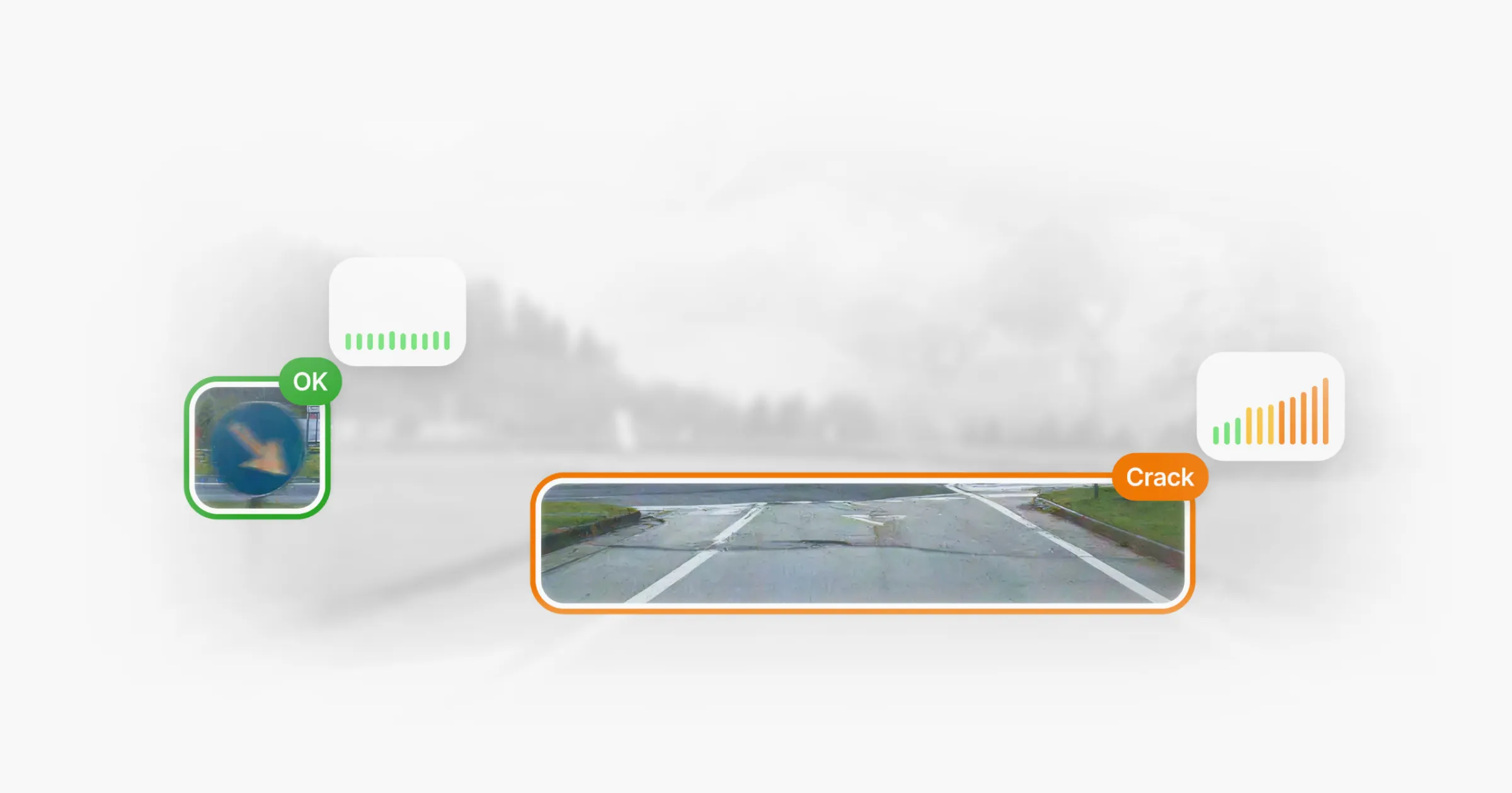
Detect and track pavement distresses such as cracks, alligator cracking, potholes and more.
Pavement condition indexes
Monitor key condition indexes such as PCI, IRI and RMS3, frequently and accurately.
Verified operations
Compare locations over time and catch problems before they become costly.
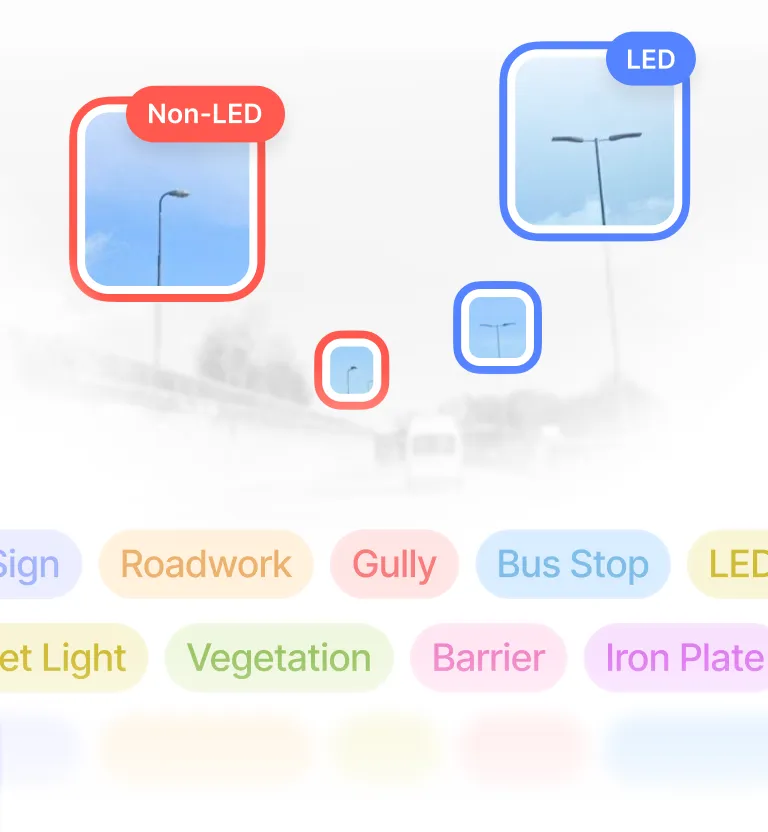
Automated asset inventory
Built and kept up to date for you.
Your data, anywhere, any time
Access road infrastructure data where and when you need it.
GDPR compliant
Anonymised with no personal data stored.
Prove every job. Strengthen every tender.
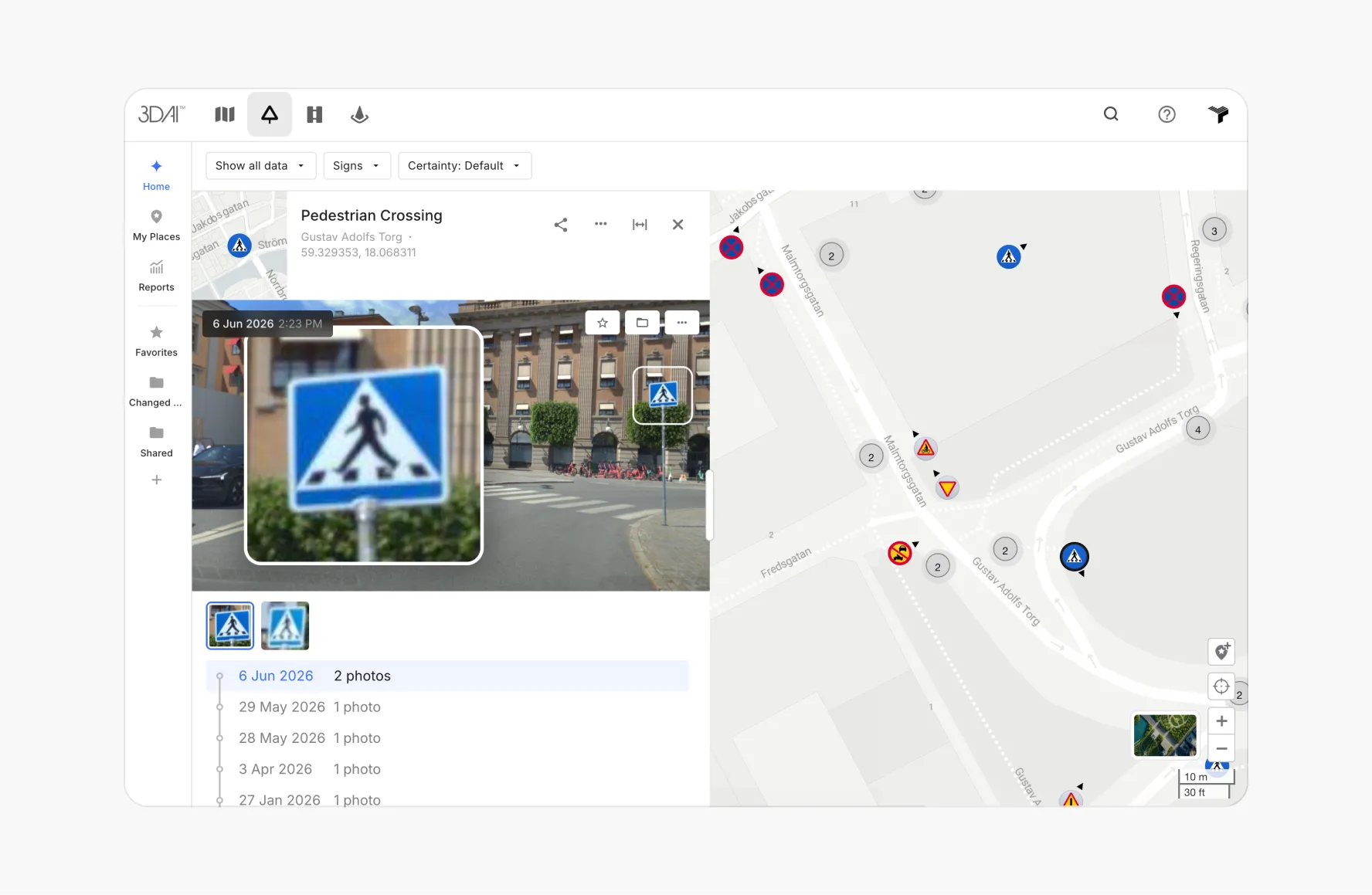
Verify operations
Confirm what’s been done and know what needs your attention.
Spot issues
Catch problems before they become costly.
Track your SLA
See how performance stands against each commitment.
Generate evidence reports
Use timestamped, geo-referenced evidence to turn daily work into audit-ready proof.
Strengthen tenders
Deliver consistent, transparent outputs that stakeholders can trust across roads and time.
GDPR compliant
Anonymised with no personal data stored.
See every street. Fix what matters.
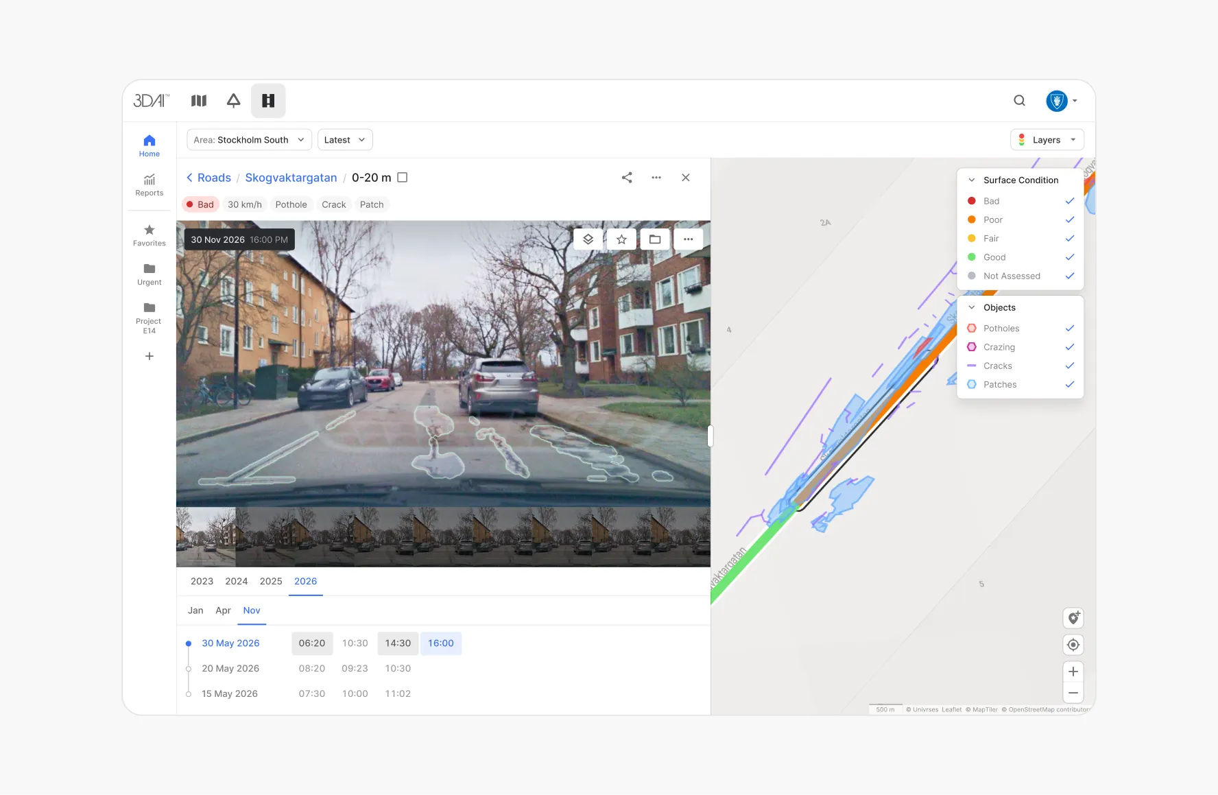
One pass, every asset
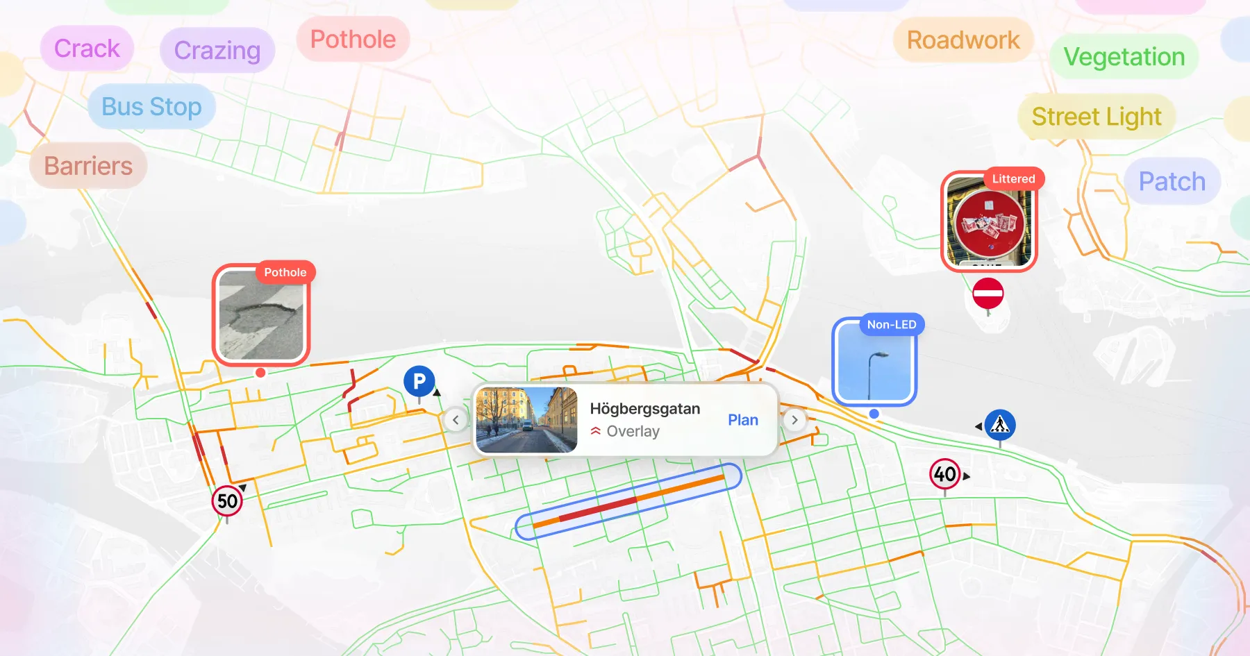
Signs, lighting, drainage, road surface and more, captured in a single journey.
Know what you own
Build a complete asset inventory where records may be missing or outdated.
Plan, don't react
Prioritise repairs before complaints and claims come in.
Budgets you can defend
Support maintenance decisions with evidence a council can stand behind.
Fair upkeep, everywhere
Spot areas quietly falling behind on maintenance.
Document liability
Deliver consistent, transparent outputs that stakeholders can trust across roads and time.


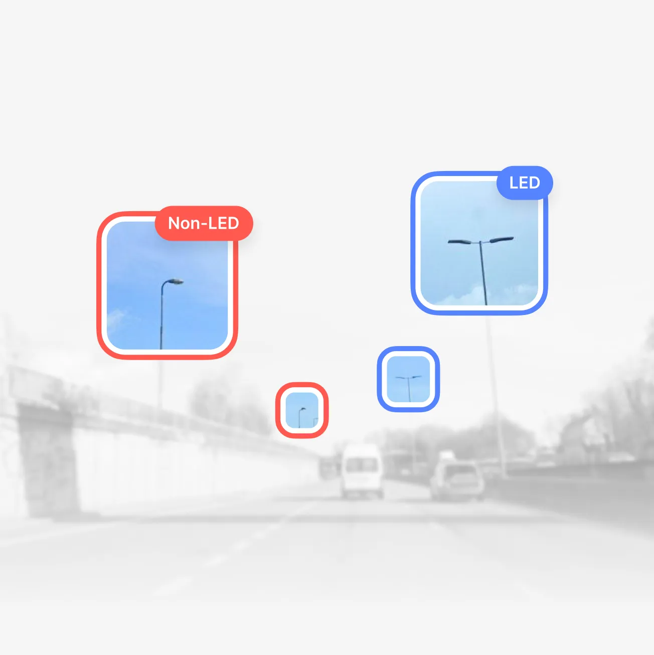

England had 110k streetlights classified in 90 days →
8,800
km of roads covered
95%
Accuracy in classification
0
Road closures needed


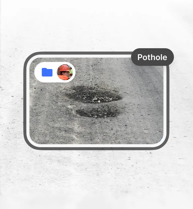
Helsingborg reduced their potholes by 70% in 5 months →
€17–25M
Estimated savings from early-stage road damage intervention
Up to 50%
Of inspection staff reallocated to other strategic tasks
1 hour
Weekly road status checks — down from 2.5 working days
Deployed in 15+ countries together with national road authorities & organisations.









Latest








A new era for
road maintenance
Take action on road data with 3DAI™