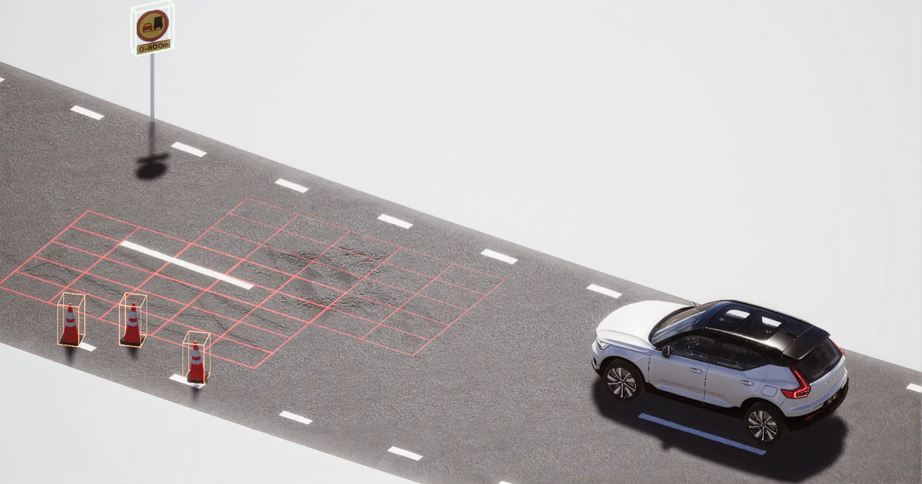
AI road inspection
across space and time
Continuous
updates
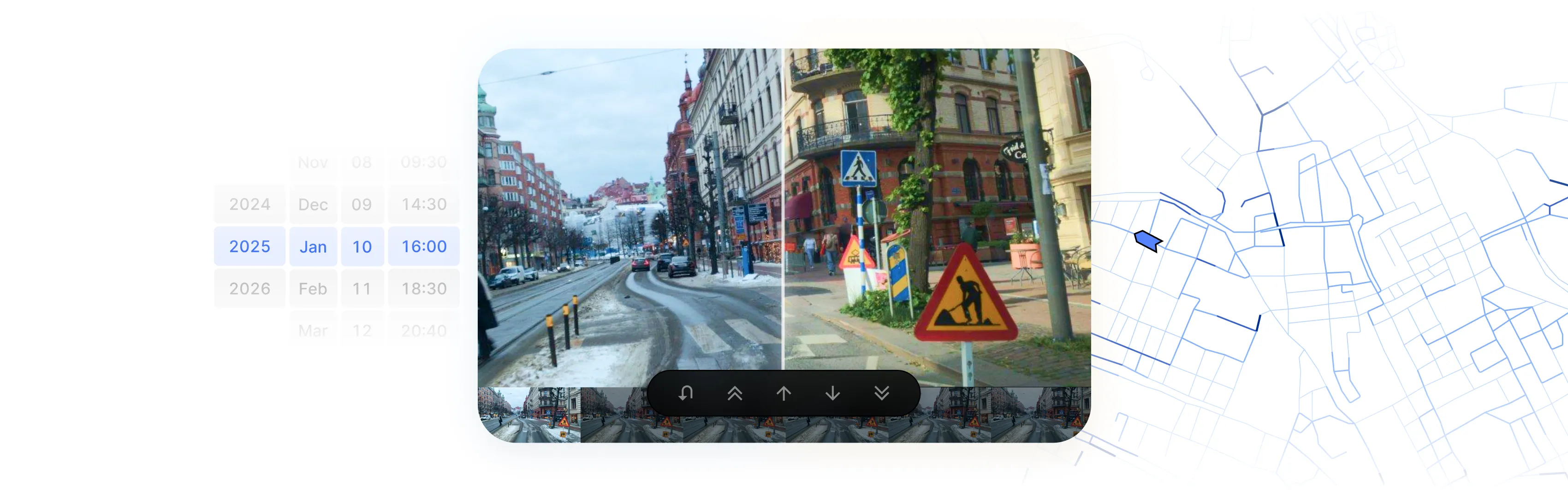
Forget yearly inspections – with 3DAI you get continuously updated data about your road network. Built from your own journeys and available whenever your teams need it.

Data from
everyday driving
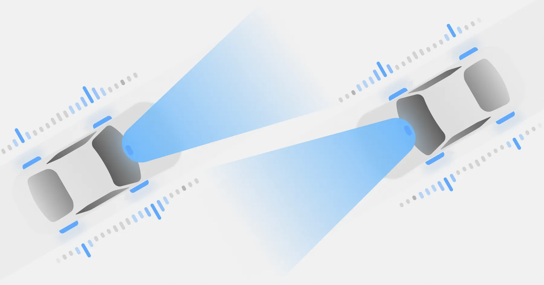
Imagery is collected by vehicles already on the road, with no dedicated survey fleet.
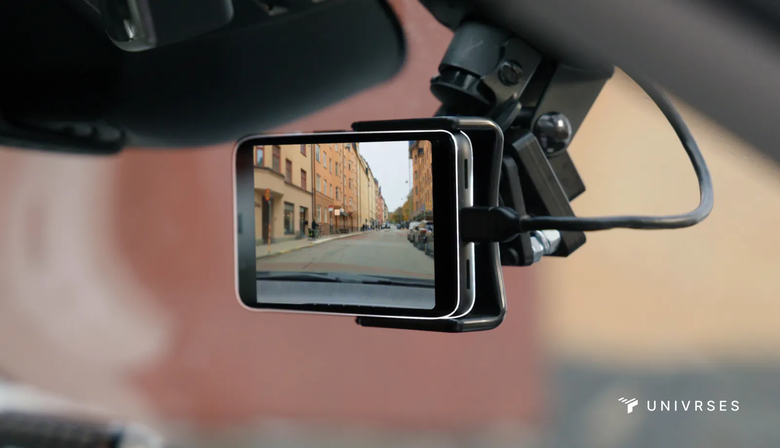
Save time and reduce your carbon footprint
With remote field visits, inspections can be carried out from the imagery rather than on site.
Frequently refreshed
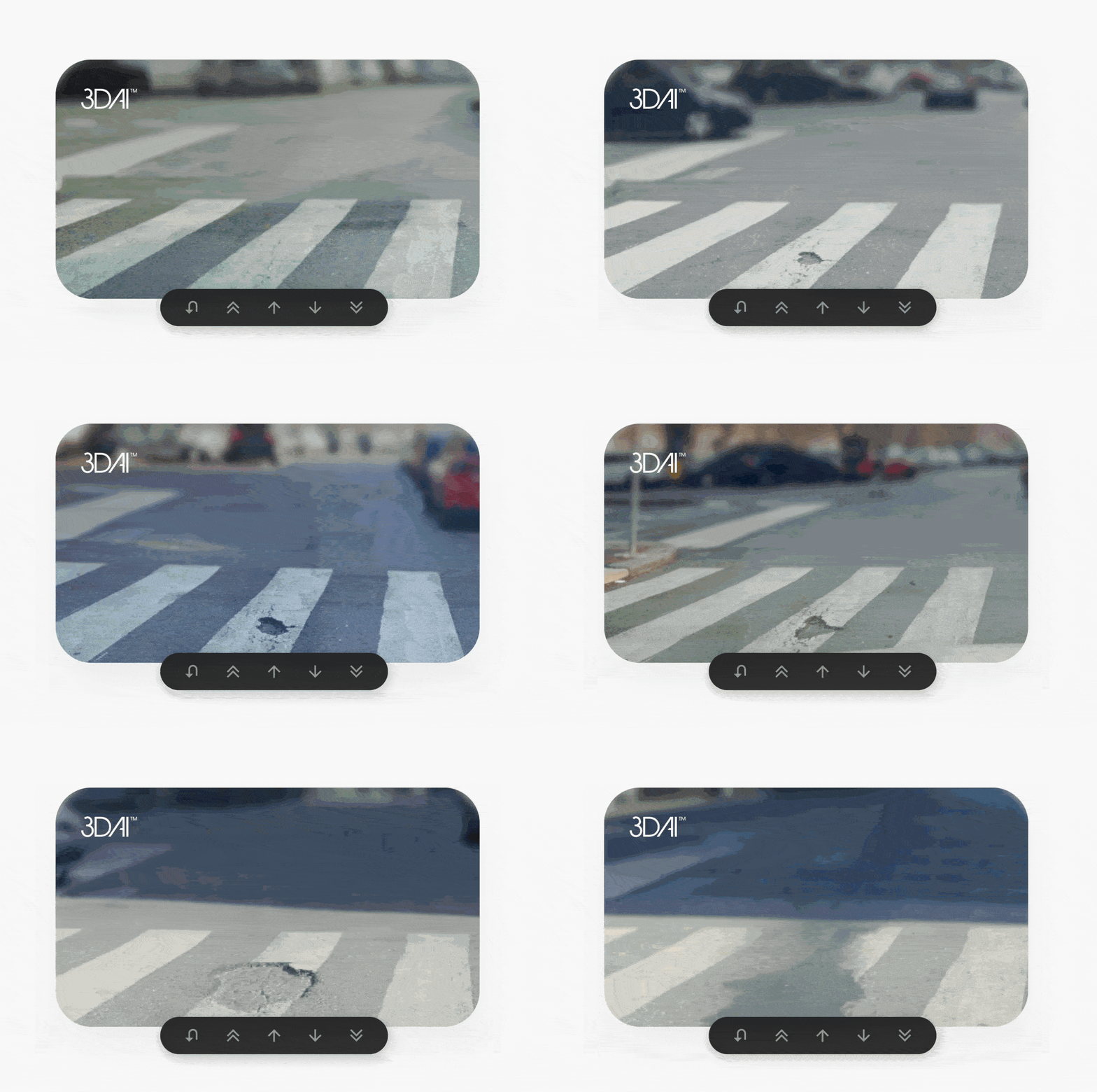
New imagery is typically available within the same week, often the same day.
A record over time
Saved locations are tracked and refreshed with each new pass, building a visual history that helps validate completed work.
Curated collections
Images can be grouped by asset, defect, route, project or maintenance area, and shared across teams and contractors.
Web and API access
Imagery can be reached through the web app or API and fed into existing workflows.
Privacy by design
All imagery is anonymised, with no personal data stored.
A dynamic record
that holds up
Get a dynamic road imagery database — collected by your fleet, for your teams, and available whenever you need it.
Positioned with precision
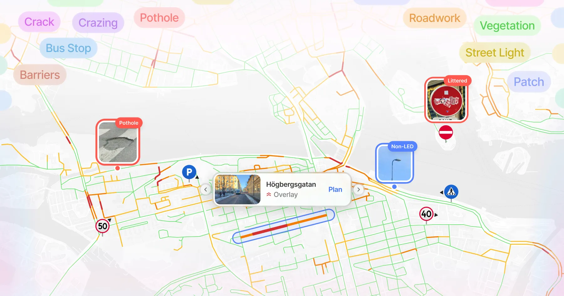
Powered by Univrses' vision-based positioning technology, 3DAI™ automatically organises imagery by time and location across your network. The result is a searchable visual record of your infrastructure, positioned with up to 16× higher accuracy than traditional GPS.
A reliable view of the road
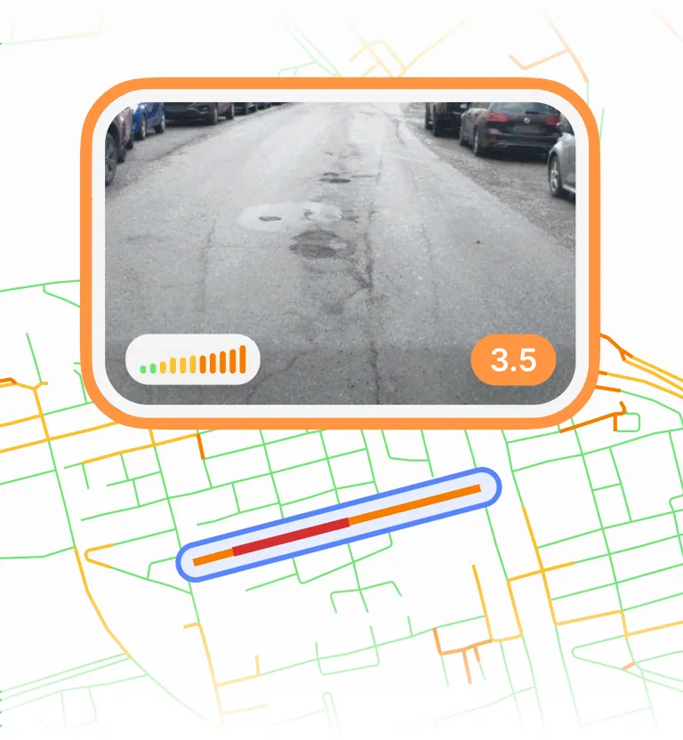
3DAI™ gives road owners, contractors, and infrastructure teams a dependable snapshot of conditions on the ground. Use it to support inspections, generate digital handover reports, verify issues, prove compliance, and compare road conditions over time.
Organise imagery around the work
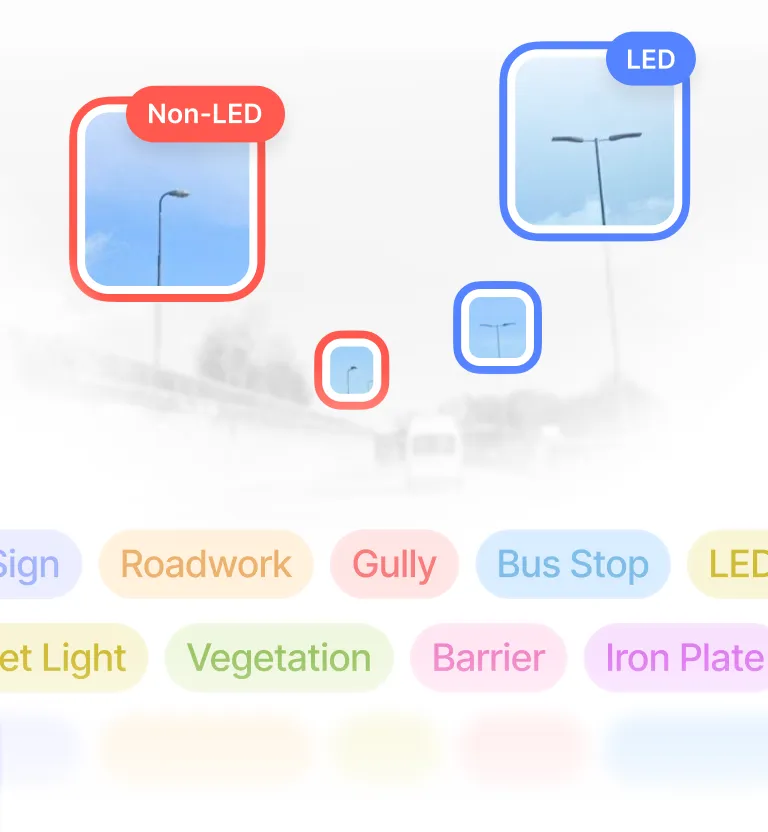
Save important locations, label images, and build curated collections around specific assets, defects, routes, projects, or maintenance areas. Road imagery becomes practical planning material — helping teams set inspection priorities, prepare repair plans, assemble handover evidence, and coordinate work across departments and contractors.
Always up to date
Each saved location is tracked automatically and refreshed whenever a new 3DAI™-equipped vehicle passes by. Teams get a continuously updated visual history of key points, making it easier to monitor changes, validate completed work, and keep maintenance plans aligned with what's actually out there.
From scattered imagery to structured perception
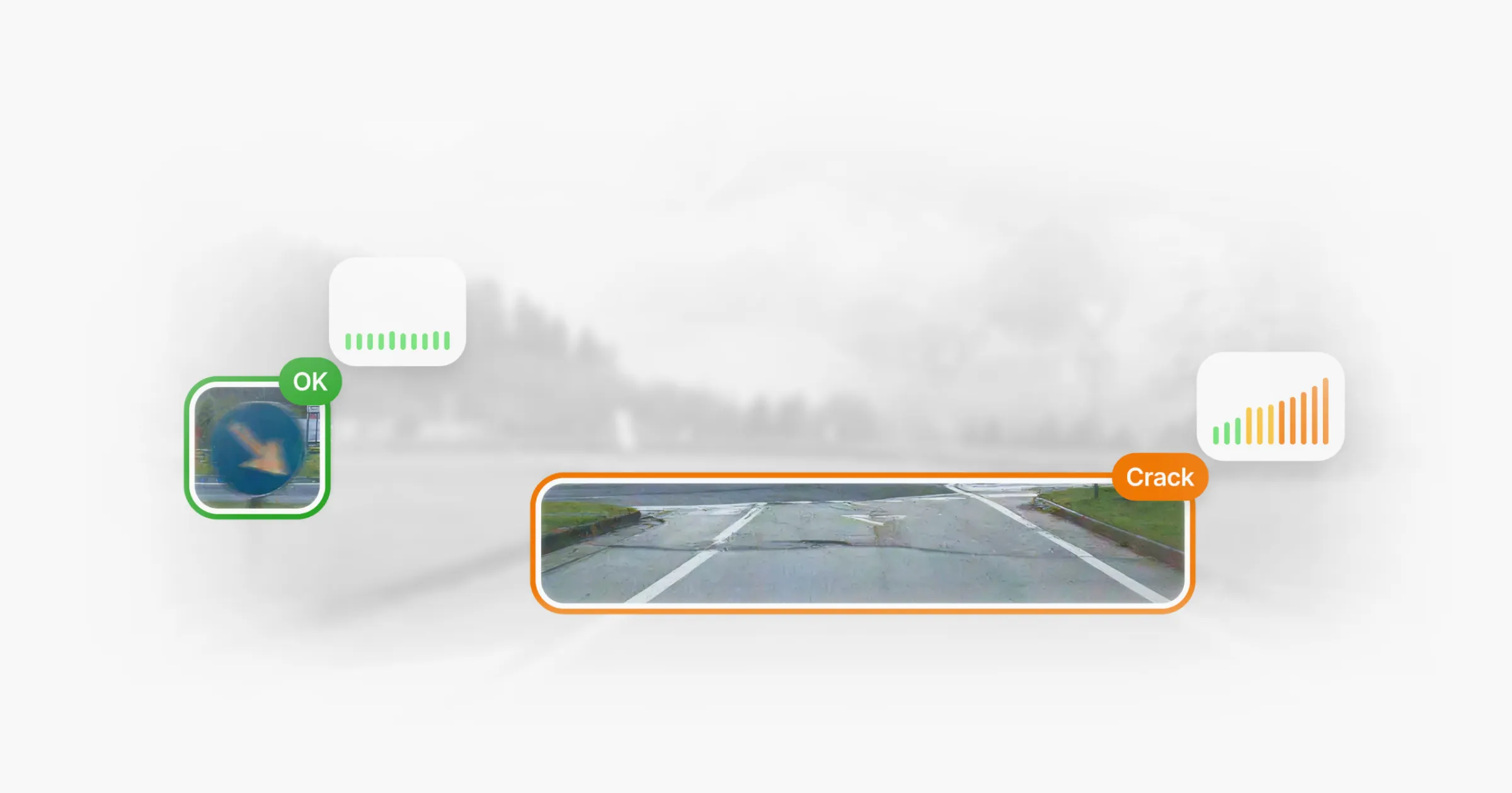
From field inspections to digital twin workflows, 3DAI™ turns loose imagery into structured perception — so you can see what changed, where, and when it was captured.
Built to fit your stack
Access and download images through the web app or API, for seamless integration into your existing inspection, asset management, reporting, and maintenance workflows.
Privacy by default
All imagery is anonymised to protect privacy and support responsible infrastructure monitoring.
A new era for
road inspection
Inspect and analyse with 3DAI™

Deployed in 15+ countries together with national road authorities & organisations.











Latest