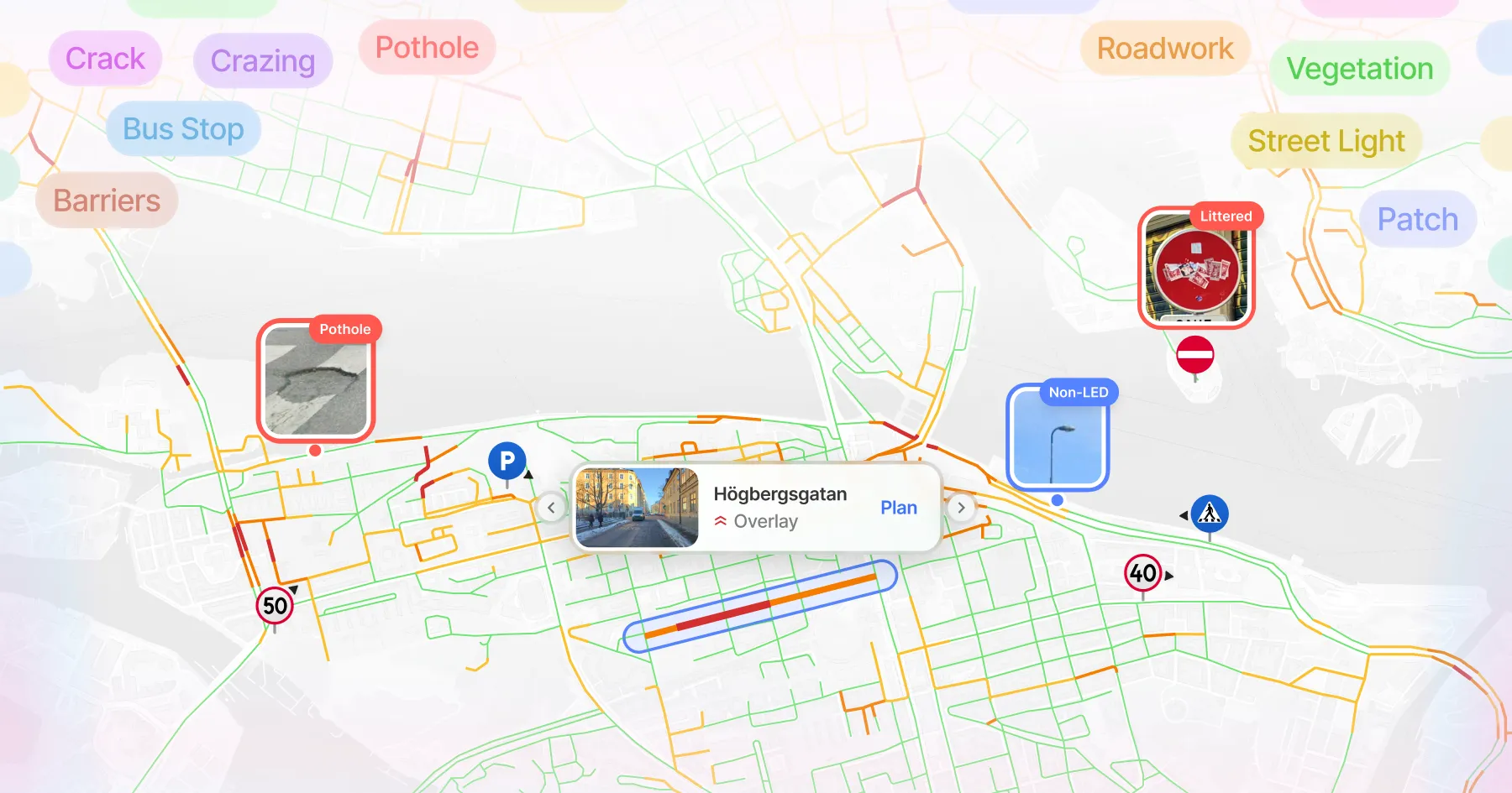
Dati stradali
su cui agire
Intelligenza visiva per asset stradali e condizioni della pavimentazione. Sicura e conforme al GDPR.

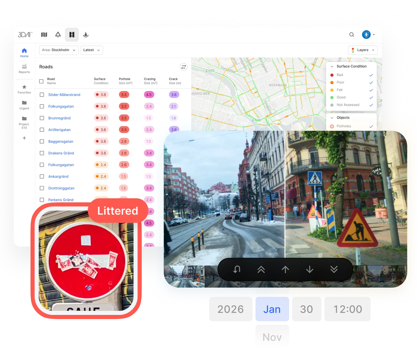












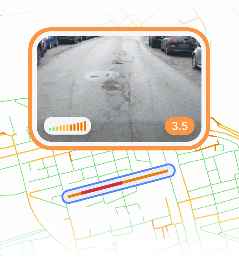
Vedete ogni strada. Intervenite dove conta.
Un passaggio, tutti gli asset
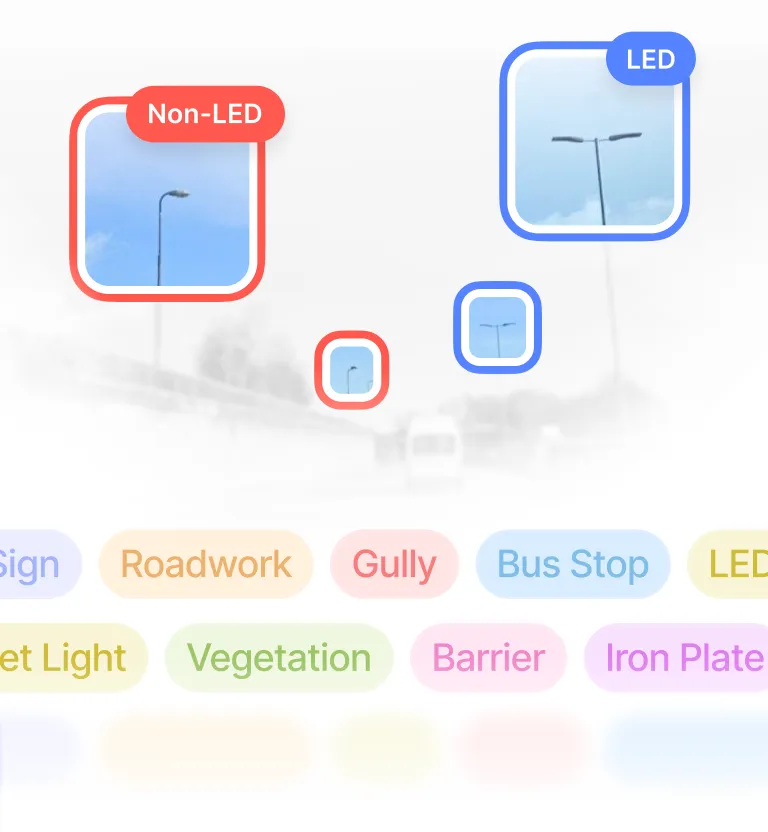
Segnaletica, illuminazione, drenaggio, pavimentazione e altro, rilevati in un unico viaggio.
Pianificate, senza rincorrere
Date priorità alle riparazioni prima che arrivino segnalazioni e richieste di risarcimento.
Sapete cosa possedete
Costruite un censimento completo degli asset dove i registri mancano o sono obsoleti.
Bilanci difendibili
Supportate le decisioni di manutenzione con evidenze che l'amministrazione può sostenere.
Manutenzione equa, ovunque
Individuate le zone che stanno silenziosamente rimanendo indietro con la manutenzione.
Documentate le responsabilità
Fornite risultati coerenti e trasparenti, di cui gli stakeholder possono fidarsi, su tutte le strade e nel tempo.
Conoscete la rete. Pianificate con sicurezza.
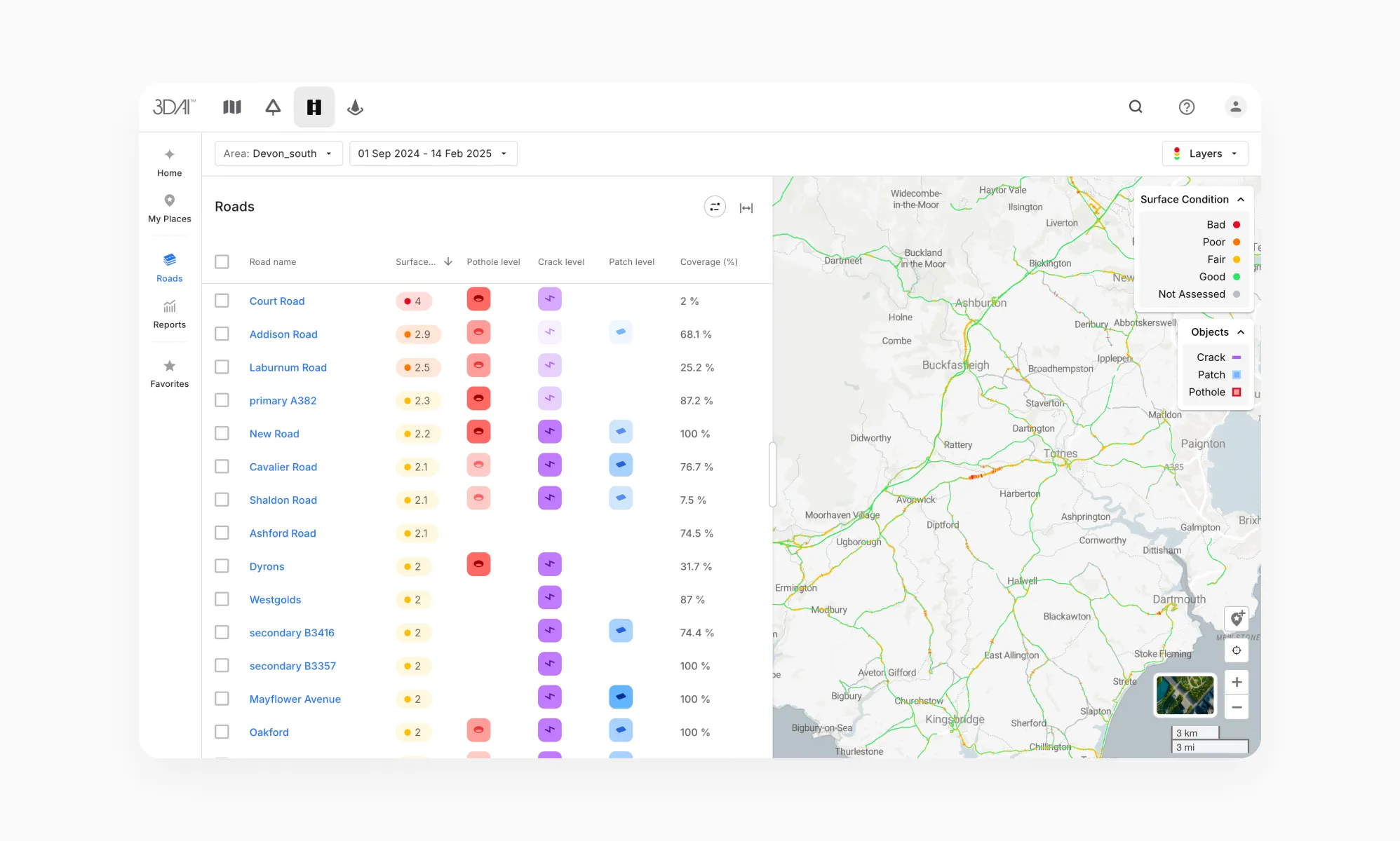
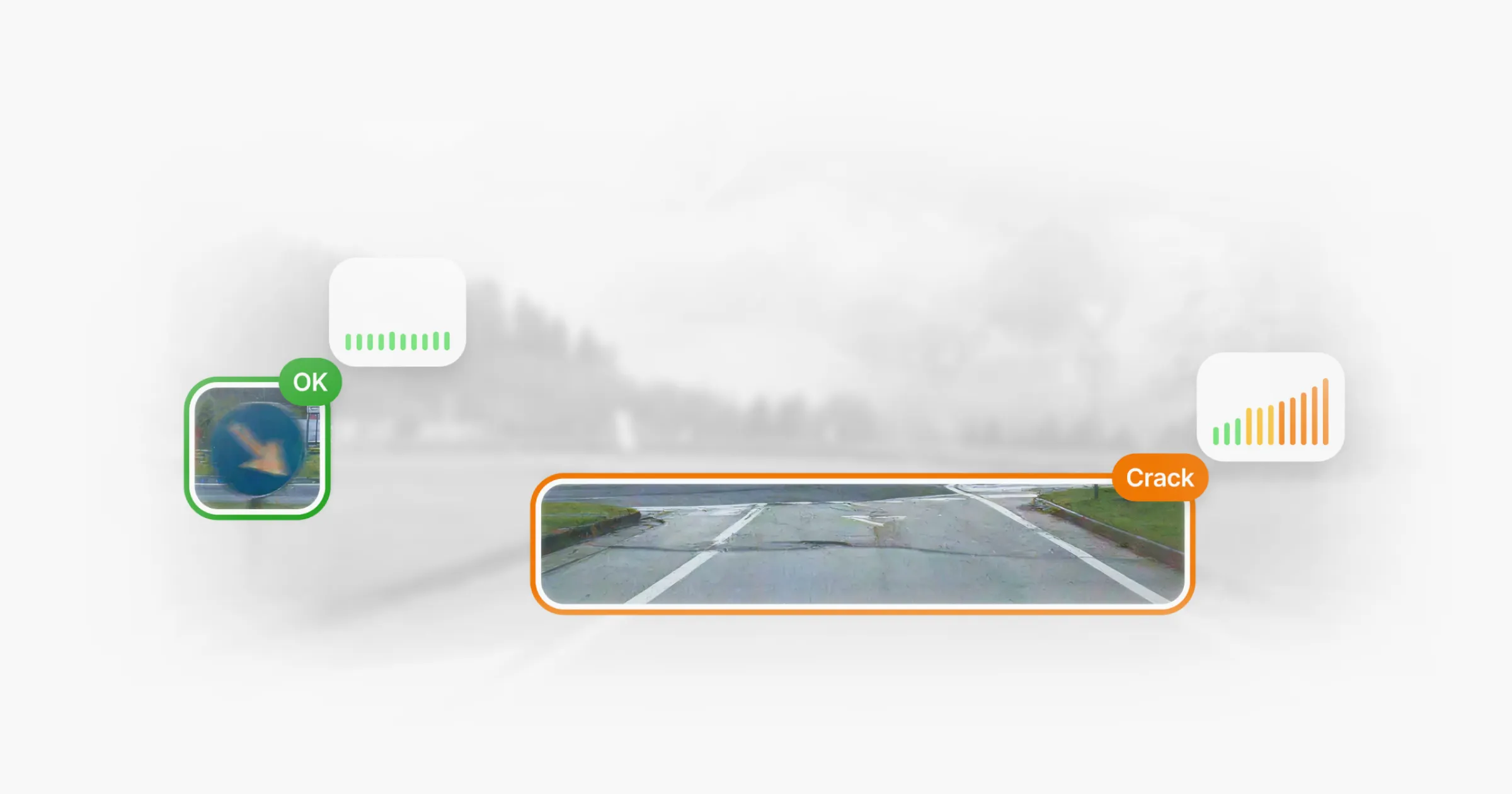
Monitoraggio accurato degli ammaloramenti
Rilevate e monitorate gli ammaloramenti della pavimentazione: fessurazioni, fessurazioni a pelle di coccodrillo, buche e altro.
Attività verificate
Confrontate le posizioni nel tempo e intercettate i problemi prima che diventino costosi.
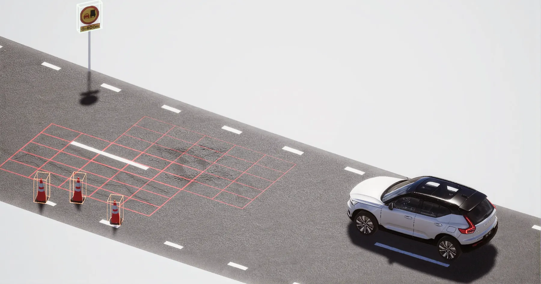
Censimento automatico degli asset
Creato e mantenuto aggiornato per voi.
I vostri dati, ovunque e in qualsiasi momento
Accedete ai dati dell'infrastruttura stradale dove e quando servono.
Conforme al GDPR
Dati anonimizzati, nessun dato personale conservato.
Dimostrate ogni intervento.
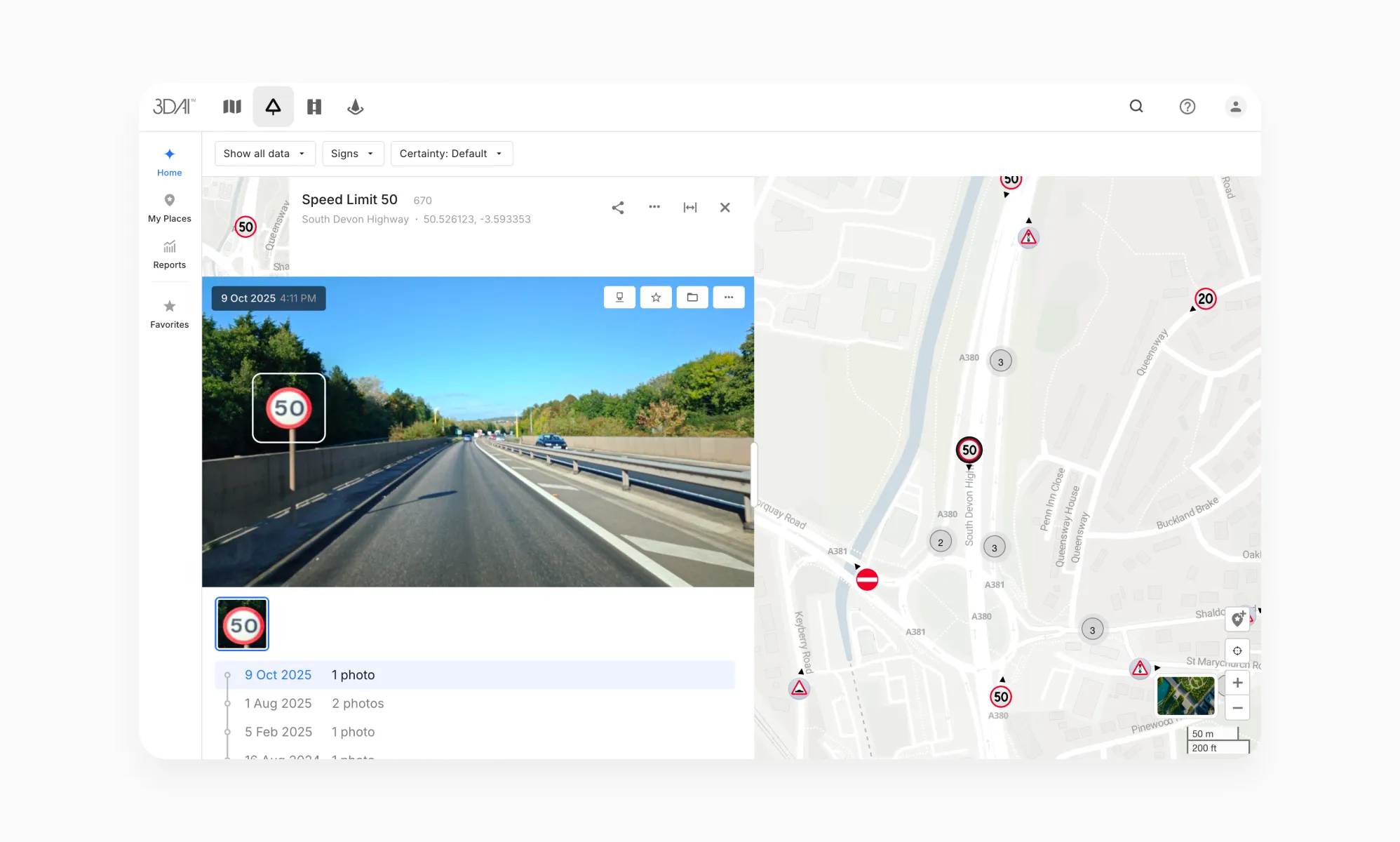
Verificate le attività
Confermate cosa è stato fatto e sappiate cosa richiede la vostra attenzione.
Individuate le criticità
Intercettate i problemi prima che diventino costosi.
Monitorate gli SLA
Verificate le prestazioni rispetto a ogni impegno contrattuale.
Generate report probatori
Con evidenze georeferenziate e marcate temporalmente, il lavoro quotidiano diventa documentazione pronta per gli audit.
Rafforzate le gare d'appalto
Fornite risultati coerenti e trasparenti, di cui gli stakeholder possono fidarsi, su tutte le strade e nel tempo.
Conforme al GDPR
Dati anonimizzati, nessun dato personale conservato.

The evidence layer to support your next transparency report
England’s local highway authorities must publish an annual transparency report on how they maintain and invest in their roads. The Department for Transport uses this information to assess maintenance performance and determine eligibility for highways maintenance incentive funding. Its strengthened requirements support a shift towards preventative maintenance and long-term asset management, making a clear account of road conditions, maintenance priorities and delivered work increasingly important.
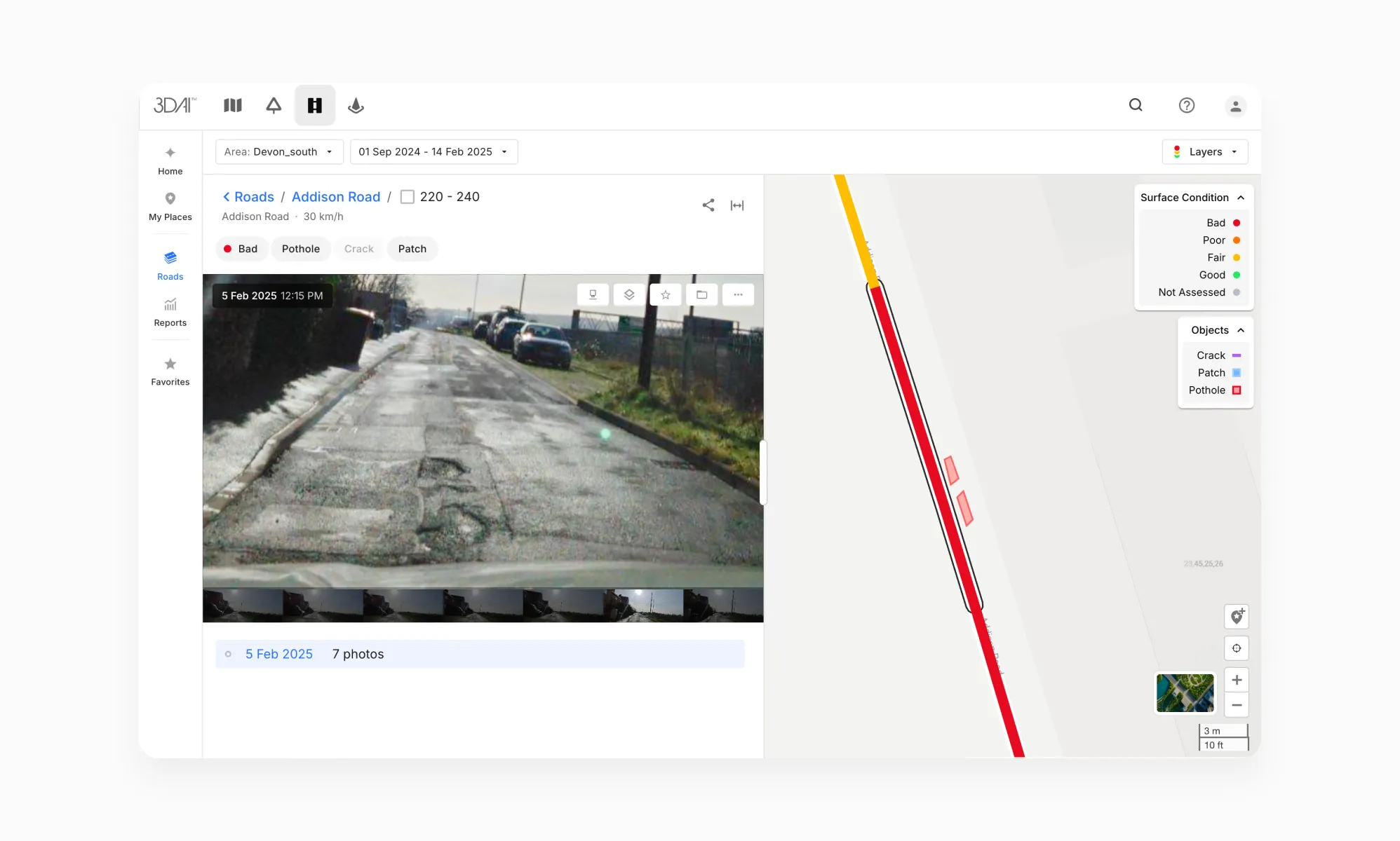
3DAI™ helps build the road condition evidence behind that work. Using cameras on vehicles already travelling the network, it turns road imagery into structured, geo-referenced data on surface defects and roadside assets. As vehicles return to the same locations, new observations build a visual record of how conditions change, giving your team a clearer basis for inspection, planning and follow-up.
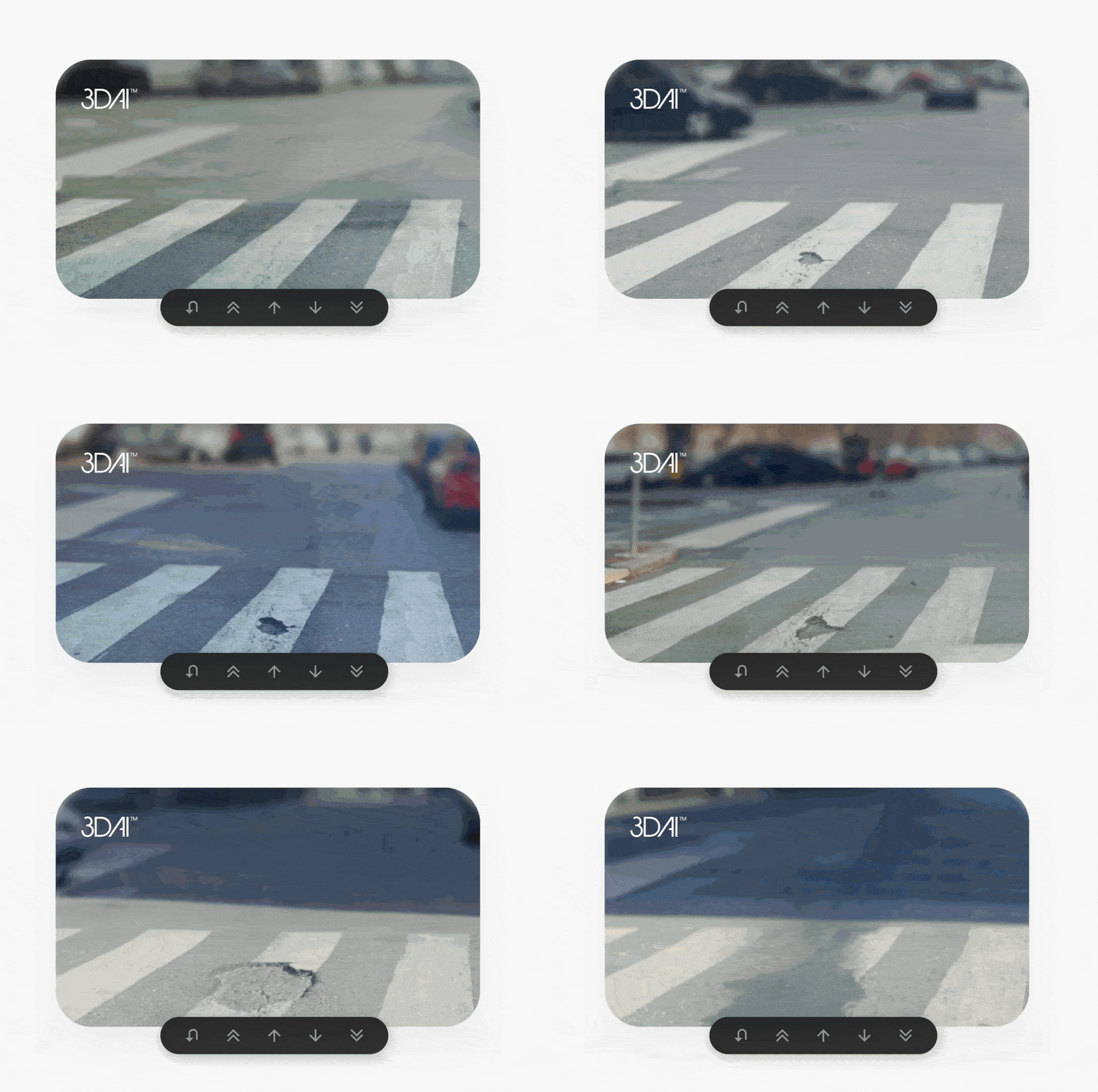
Seeing how potholes, cracks and surface wear develop over time helps teams understand where attention is needed. With 3DAI™, they can review observations across the network to identify deterioration, assess priorities and plan interventions before damage becomes more extensive.
The same record helps teams follow up on completed work. Images organised by time and location make it possible to compare conditions before and after an intervention, review visible changes and assemble evidence for handovers and maintenance reviews. Authorities and their contractors can work from a shared visual record when discussing what has been done and what still needs attention.
Available through a web interface and API, imagery and findings can feed into existing inspection, asset management and reporting workflows. Teams can use this evidence alongside engineering assessments and maintenance records to plan their work and explain the decisions behind it.
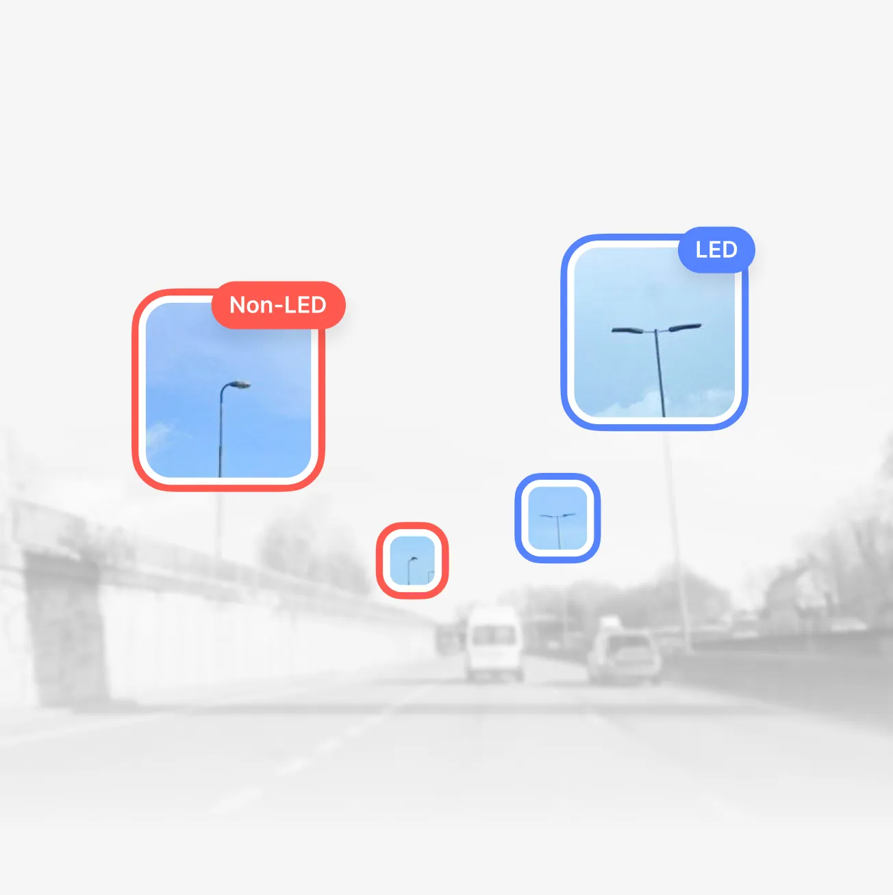

In Inghilterra 110.000 punti luce classificati in 90 giorni →
8.800
km di strade coperti
95%
di accuratezza nella classificazione
0
chiusure stradali necessarie


Helsingborg ha ridotto le buche del 70% in 5 mesi →
17–25 mln €
Risparmi stimati grazie all'intervento precoce sui danni stradali
Fino al 50%
Del personale ispettivo riallocato su altre attività strategiche
1 ora
Per il controllo settimanale dello stato delle strade, rispetto a 2,5 giorni lavorativi

Attivo in oltre 15 paesi insieme a enti stradali nazionali e organizzazioni del settore.









Una nuova era
per le strade
Agite sui dati stradali con 3DAI™
Ultime novità