Physical AI for
autonomous vehicles
Autonomous mobility, tailored to you


In Inghilterra 110.000 punti luce classificati in 90 giorni →
Perception for
AD/ADAS systems.
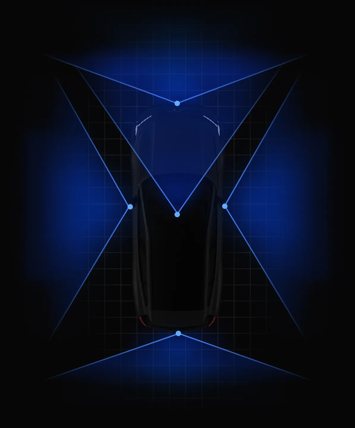
Sensor calibration
di accuratezza nella classificazione
Localization and mapping
Monocular, multi-camera and lidar.
Guardrail methods
Sensor blockage, visibility estimation and scene classification.
Road Safety
Read the road ahead
and ensure safety.
Road Type
Asphalt, cobblestone, concrete and gravel.
Road Profile
Road surface, curbs, unevenness and raveling.
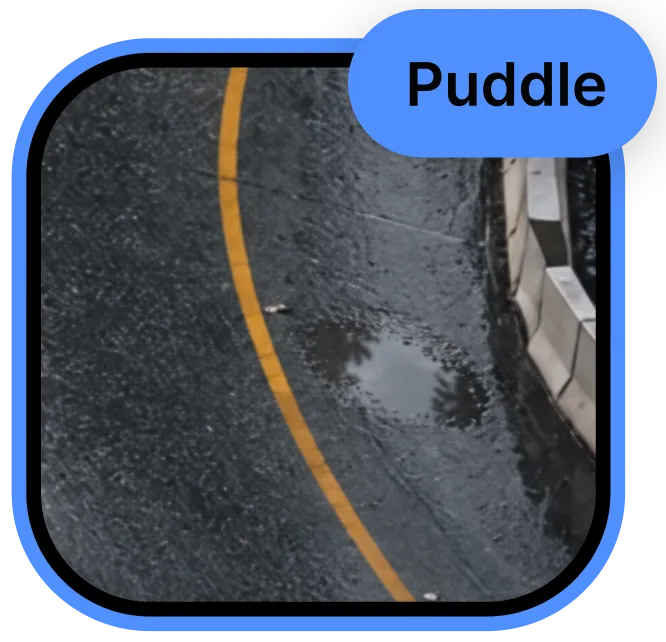
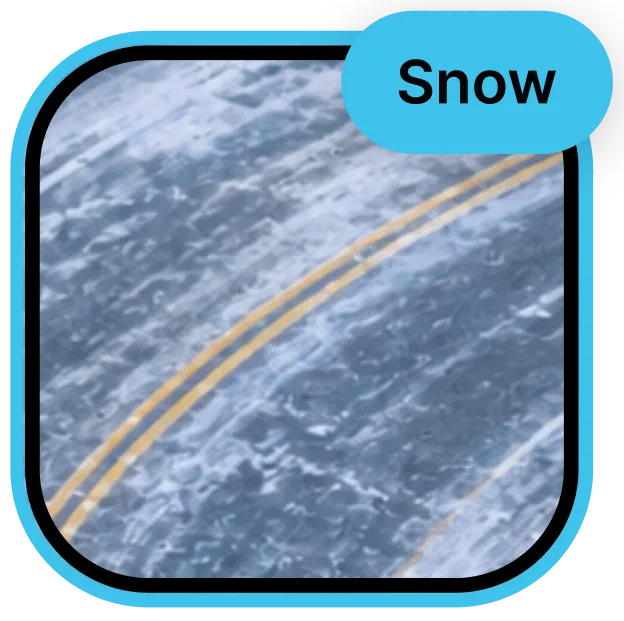
Road Conditions
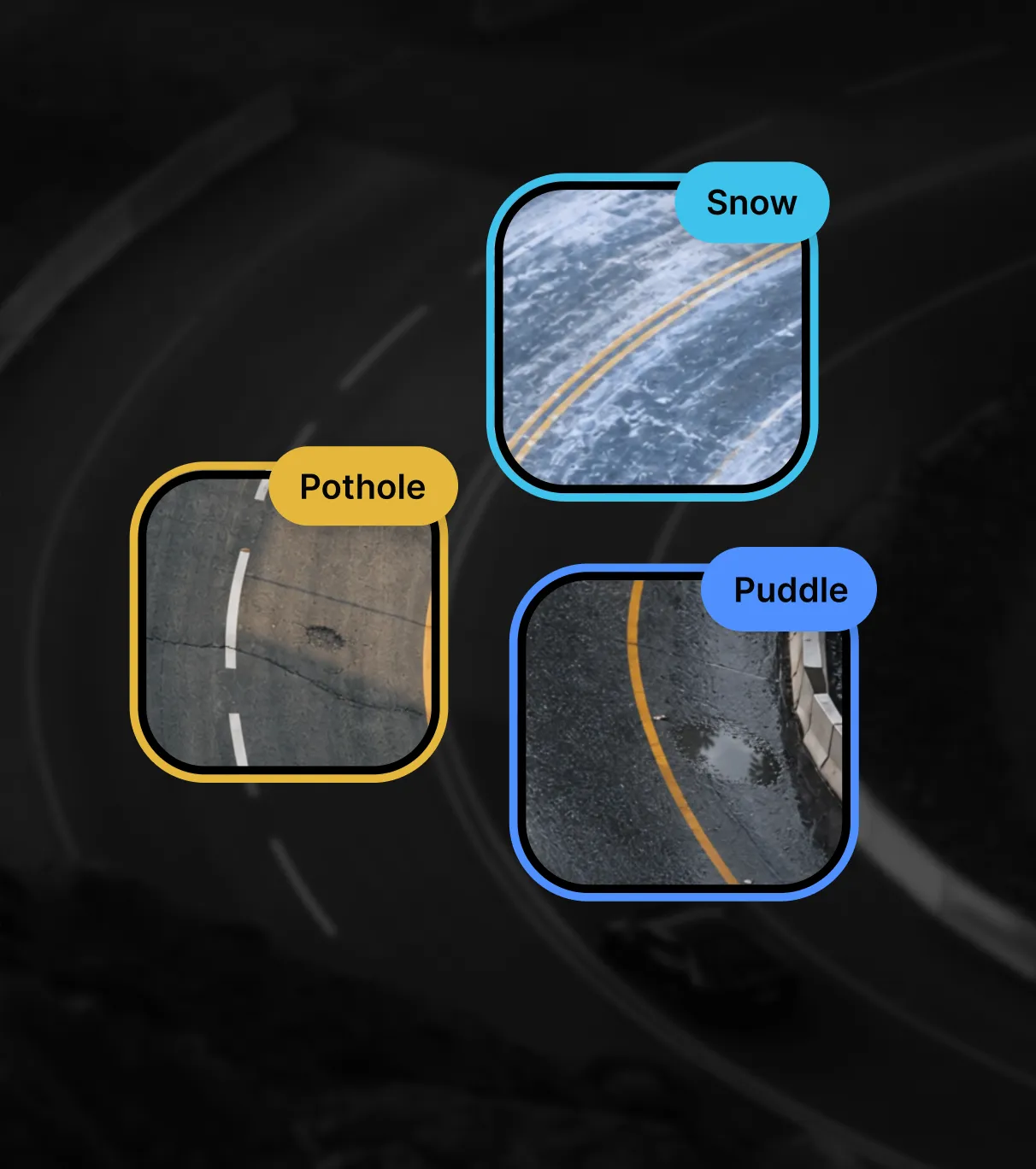
Dry, wet, snow, puddles and foliage.
Road Damage
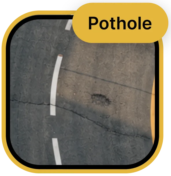
Potholes, cracks, patches and crazings.
Drive Analysis
High precision positioning.
At race speed.
Single camera
Just one camera needed on the vehicle.
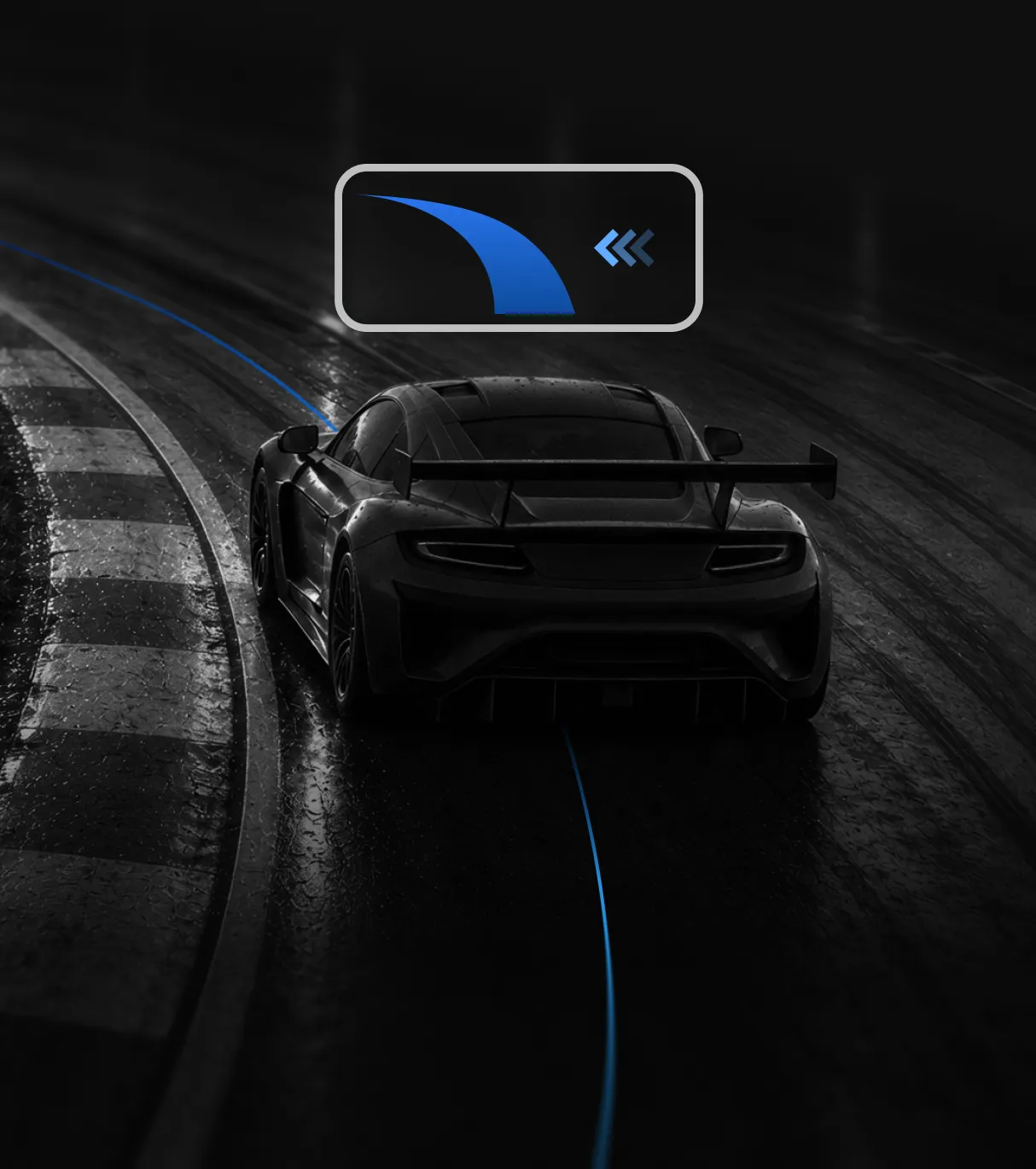
High precision trajectory
Get centimeter precision of the vehicle.
Operating live at high speed
Even in low lighting.
Maximum efficiency
on embedded devices.
Case Study
In Inghilterra 110.000 punti luce classificati in 90 giorni →
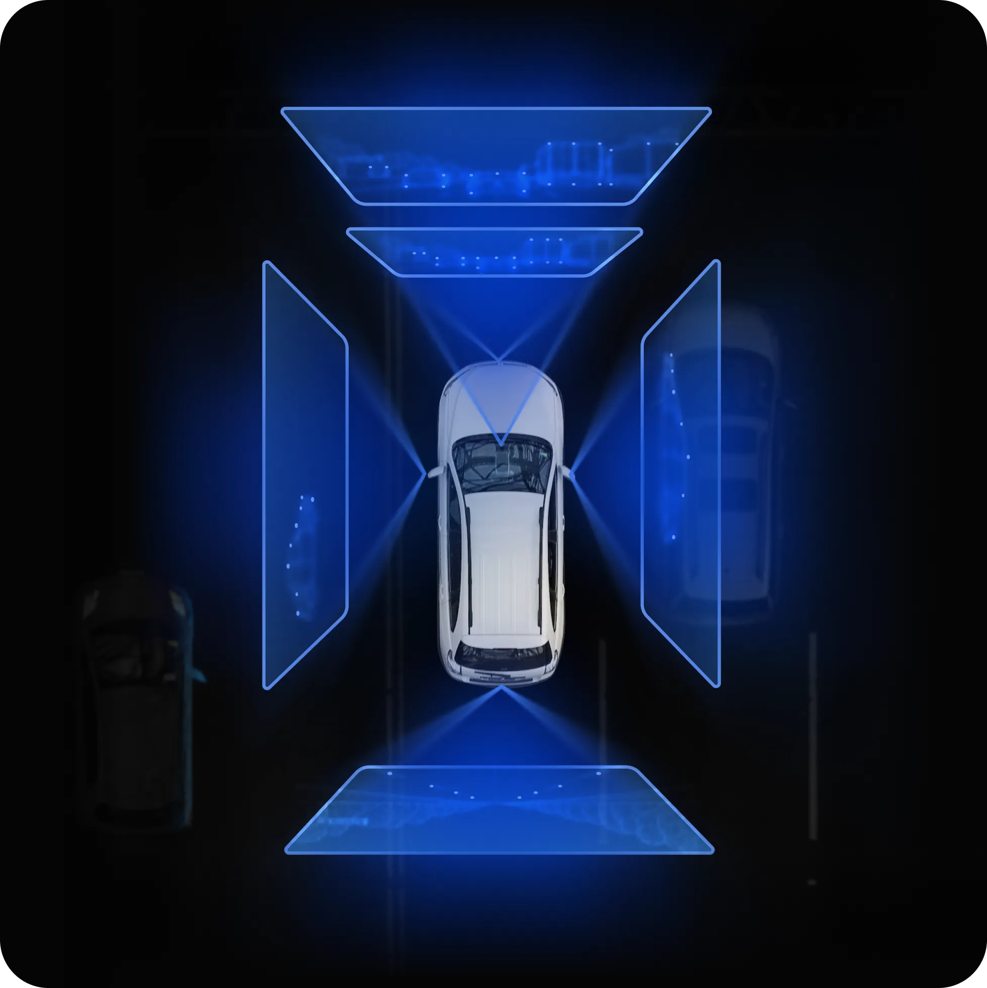
Calibrate in motion
Calibration refreshed from the vehicle’s own motion
No service visits
No specialists needed for recalibration – even after a windshield replacement
Technologies
Localisation
Precise localization, whatever your sensor setup: single camera, multi-camera or lidar.
HD Mapping
Create and maintain maps through collaborative multi-agent systems, facilitating accurate navigation and planning.
Tracking
Precisely track vehicles and people across space and time, enabling a deeper understanding of the dynamic environment.
Scene understanding
State-of-the-art AI that makes sense of everything on the road.
Reconstruction
Detailed 3D reconstruction from mono, stereo or lidar.
Tools
Access libraries designed to solve core perception problems, including calibration, optimisation and sensor fusion.
Get started with Physical AI